PicoVoyage

Charting your North East escape

Meghalaya image 1 Meghalaya image 2 Meghalaya image 3 Meghalaya image 4 Meghalaya image 5

Explore the region

Meghalaya

Aptly christened the 'Abode of Clouds,' Meghalaya is a mesmerizing topographical wonder situated in Northeast India, characterized by its dramatic limestone plateaus, perpetual mists, and the staggering intensity of i...

Meghalaya 8 places to visit

The destination

About Meghalaya

A considered guide to the landscapes, culture, and places that make Meghalaya worth discovering.

Aptly christened the 'Abode of Clouds,' Meghalaya is a mesmerizing topographical wonder situated in Northeast India, characterized by its dramatic limestone plateaus, perpetual mists, and the staggering intensity of its monsoonal climate. Flanked by the sprawling plains of Assam to the north and the riverine deltas of Bangladesh to the south, this enigmatic state harbors a profound and distinct sociocultural identity, meticulously preserved by its indigenous matrilineal communities—the Khasi, Garo, and Jaintia tribes [2].

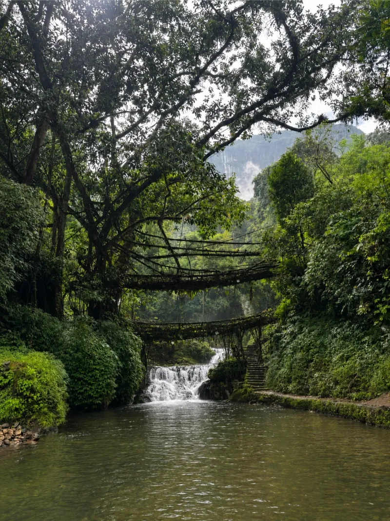
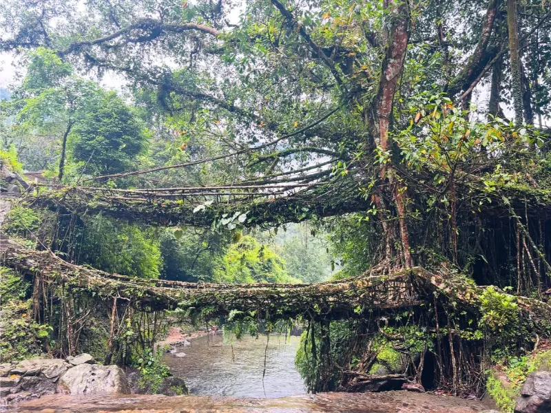
The geological narrative of Meghalaya is one of extreme, awe-inspiring extremes. The terrain is an intricate labyrinth of deep subterranean karst cave systems, precipitously carved canyons, and thunderous, perennial waterfalls that plunge from vertiginous ridges. Arguably its most transcendent marvels are the indigenous living root bridges—miracles of generational bioengineering where the resilient aerial roots of rubber fig trees have been coaxed across roaring monsoonal torrents over centuries.

Meghalaya is an unparalleled sanctuary for speleologists, pluvophiles, and intrepid polymaths drawn to subterranean exploration, monumental aquatic cascades, pristine ecological reserves, and rich tribal heritage. Its juxtaposition of untamed, elemental fury during the monsoon and ethereal, crystalline tranquility in the winter establishes it as a profoundly transformative destination within the Indian subcontinent.

Abode of CloudsNortheast IndiaLiving Root BridgesWaterfallsCave SystemsKhasi HeritageEcotourismMonsoonal LandscapesNatureAdventure
Best timeOctober to April
ElevationApproximately 150 meters to 1,961 meters
Typical climateApproximately 4°C to 25°C

Build your itinerary

Places to explore

Start with the experiences that best fit the way you want to travel.

Place 01

Shillong

ActivitiesCity explorationCafé hoppingHeritage walksPanoramic viewingLive musicShopping

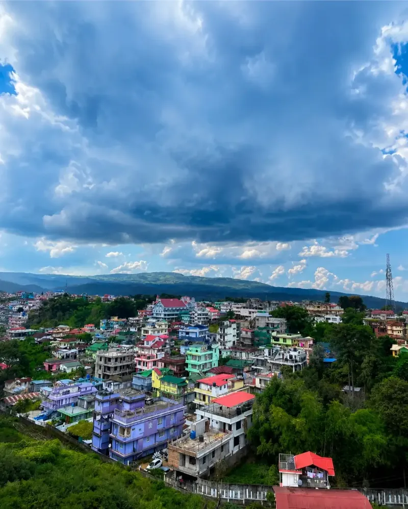
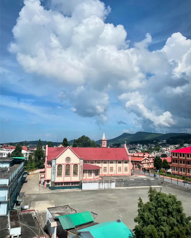
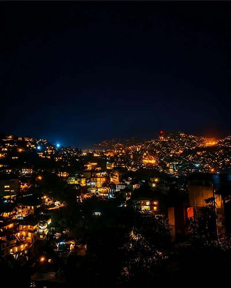
Perched amidst undulating, pine-clad terrains, Shillong—evocatively dubbed the 'Scotland of the East'—serves as the vibrant, cosmopolitan epicenter and capital of Meghalaya. The municipality presents a fascinating dichotomy, harmoniously intertwining remnants of archaic colonial architecture and a burgeoning, dynamic youth culture celebrated for its prolific indie music and thriving café scenes.

As the state's paramount logistical and administrative hub, Shillong provides an exceptionally comfortable basecamp for regional exploration. Visitors can perambulate through meticulously manicured gardens, indulge in the sophisticated culinary landscape, or ascend to the Shillong Peak to witness a sprawling, panoramic tapestry of the township set against the dramatic backdrop of the Khasi Hills.

State CapitalScotland of the EastColonial HeritageMusic HubCosmopolitanCultural Center
Shillong image 1 Shillong image 2 Shillong image 3 Shillong image 4 Shillong image 5
Place 02

Cherrapunji (Sohra)

ActivitiesWaterfall sightseeingCave explorationPhotographyNature walksMonsoon experience

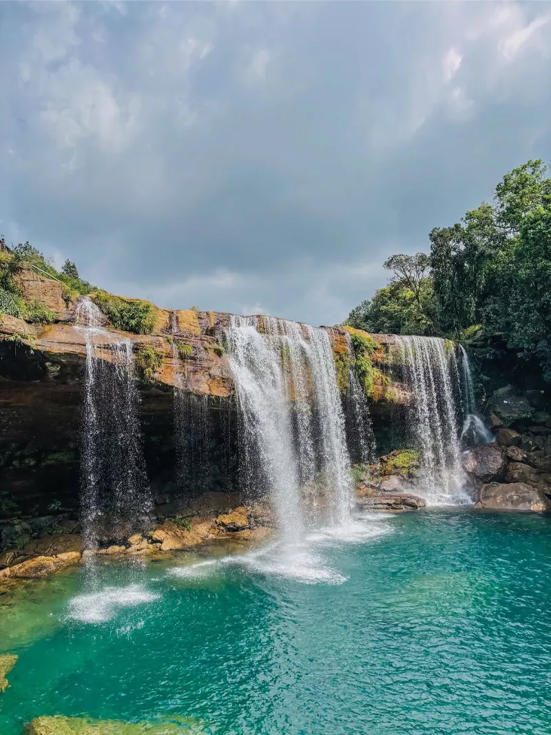
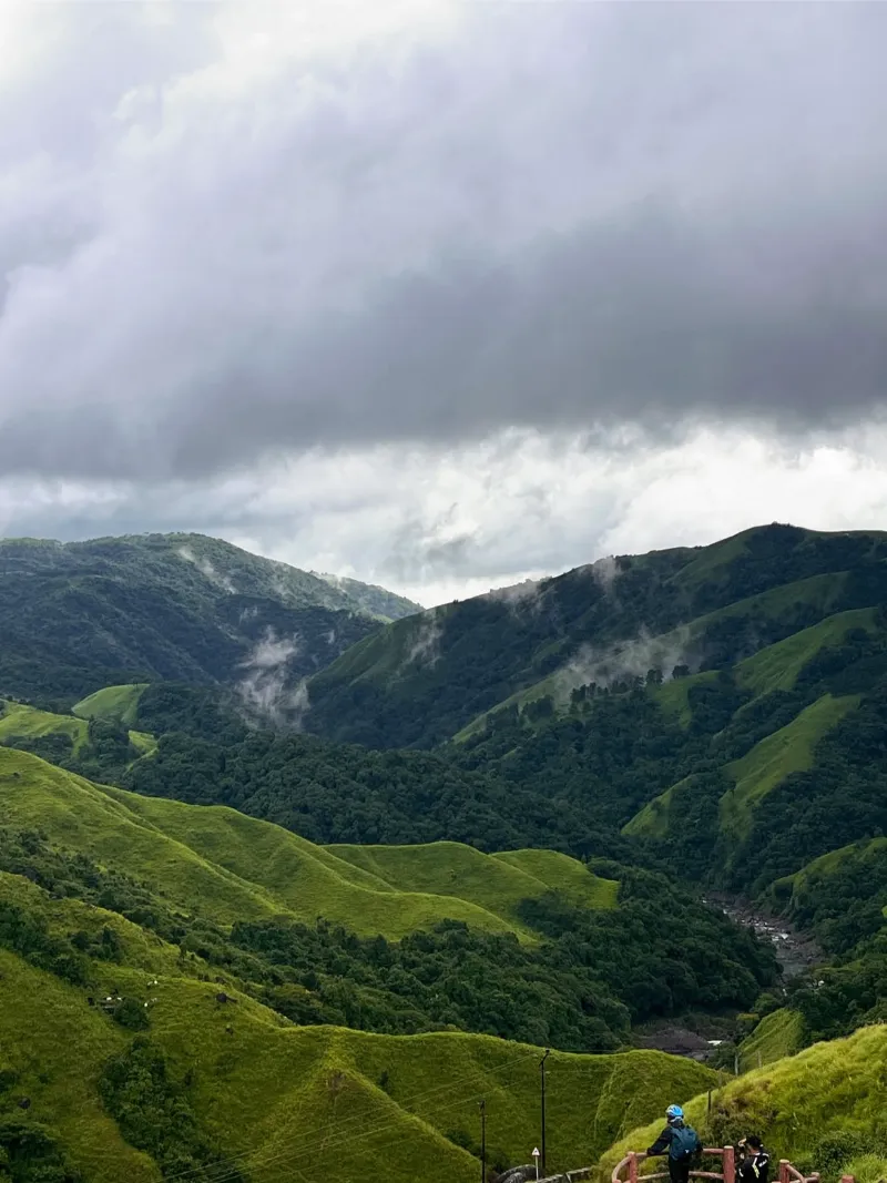
Globally immortalized for its staggering meteorological records, Cherrapunji—indigenously known as Sohra—is a dramatic, elevated plateau perpetually engaged in a tempestuous romance with monsoonal clouds. The landscape is a breathtaking tableau of sheer, precipitous escarpments and verdant, rain-saturated grasslands that plunge precipitously into the Sylhet plains of Bangladesh.

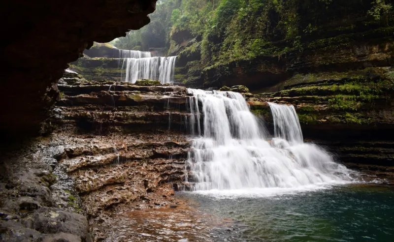
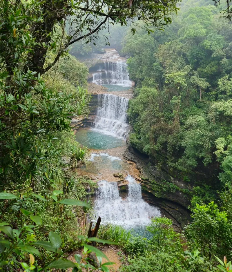
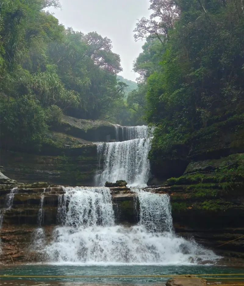
Sohra is the undisputed epicenter of Meghalaya’s most formidable waterfalls and complex limestone cave systems. Its elemental, weather-beaten terrain provides a visceral, awe-inspiring experience for travelers seeking to immerse themselves in one of the most pluvial and dramatically sculpted environments on the planet.

Wettest PlaceWaterfallsLimestone CavesMonsoon CapitalDramatic LandscapesNature
Cherrapunji (Sohra) image 1 Cherrapunji (Sohra) image 2 Cherrapunji (Sohra) image 3 Cherrapunji (Sohra) image 4 Cherrapunji (Sohra) image 5
Place 03

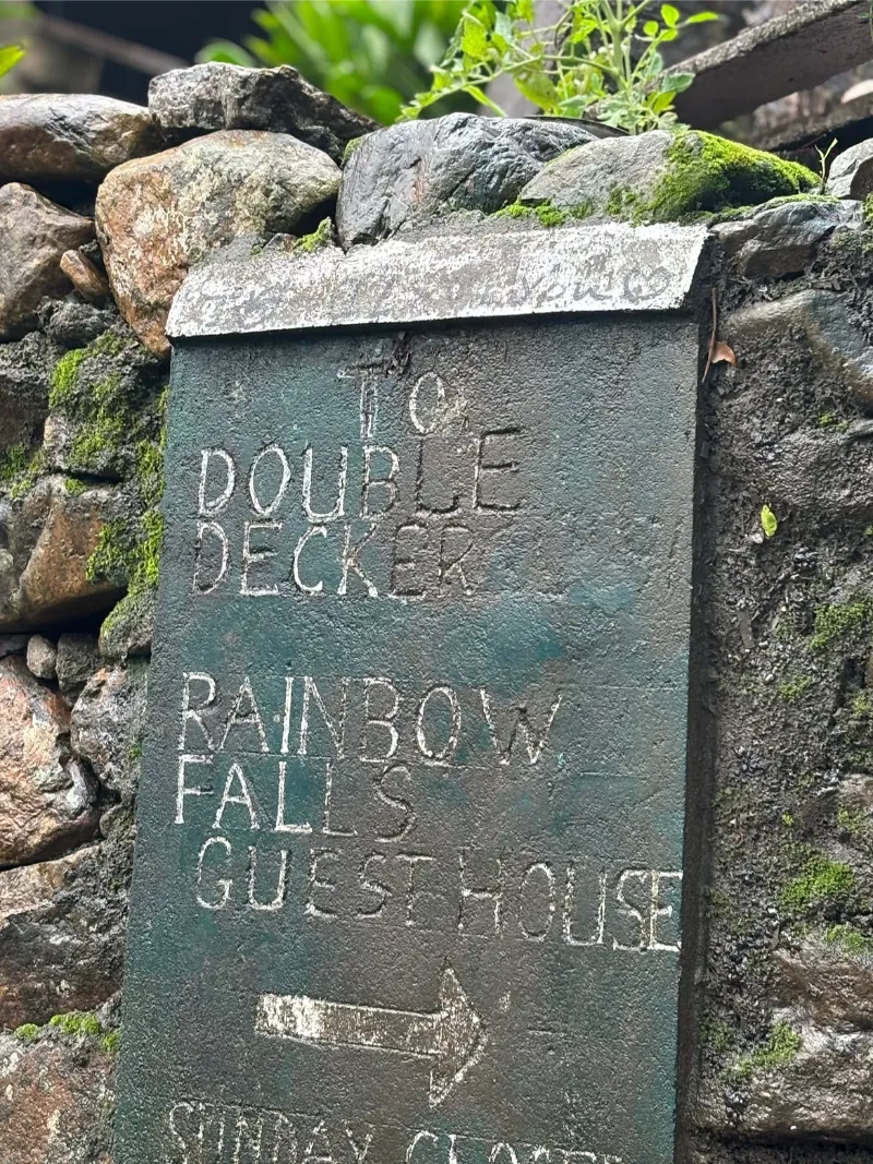
Double Decker Living Root Bridge (Nongriat)

ActivitiesArduous trekkingPhotographyNature explorationSwimming in natural poolsCultural observation

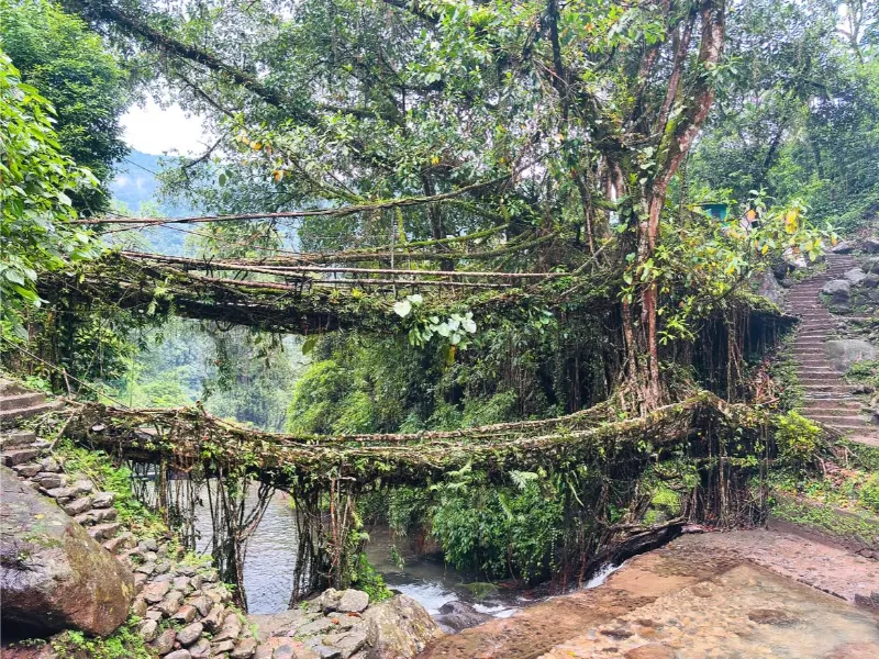
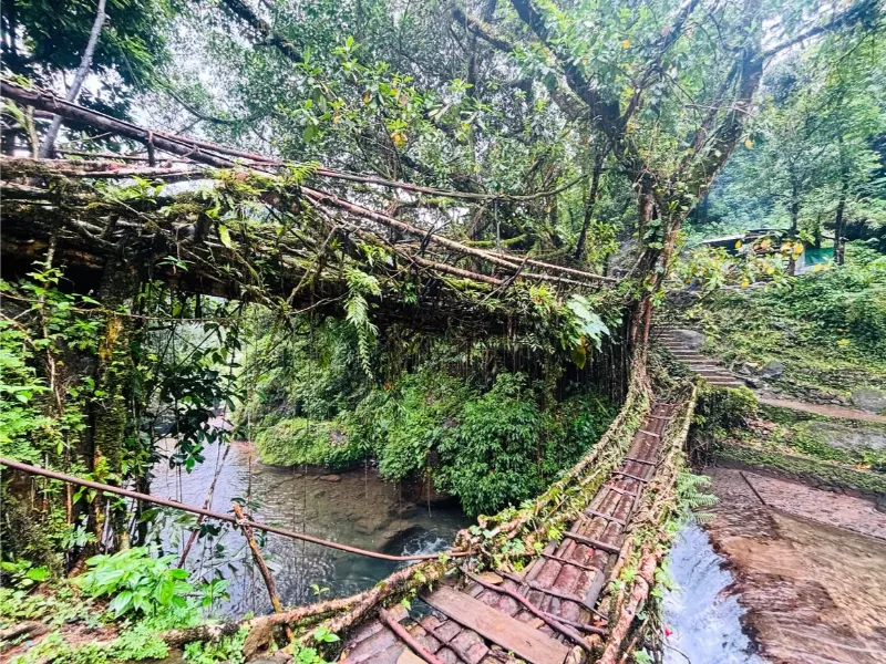
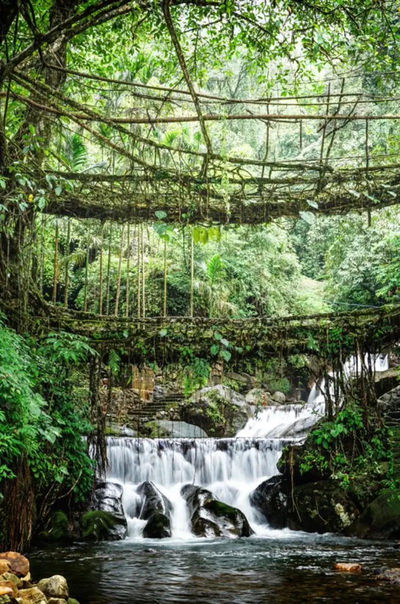
Concealed deep within the hyper-verdant, saturated rainforests of the Nongriat valley lies the monumental Double Decker Living Root Bridge, an unparalleled testament to indigenous Khasi bioengineering [2]. Reached only via an arduous descent of over three thousand stone steps, this dual-tiered arboreal crossing has been painstakingly coaxed from the aerial roots of Ficus elastica trees over centuries.

The bridge epitomizes a profound, symbiotic equilibrium between human ingenuity and untamed nature. Crossing this living, breathing structure, suspended precariously over azure crystalline pools, stands as a profoundly transformative pilgrimage for dedicated ecotourists and intrepid adventurers alike [2].

Bioengineering MarvelRoot BridgeTrekkingRainforestIndigenous HeritageEcotourism
Double Decker Living Root Bridge (Nongriat) image 1 Double Decker Living Root Bridge (Nongriat) image 2 Double Decker Living Root Bridge (Nongriat) image 3 Double Decker Living Root Bridge (Nongriat) image 4 Double Decker Living Root Bridge (Nongriat) image 5
Place 04

Dawki & The Umngot River

ActivitiesRiver boatingPhotographyRiverside campingScenic sightseeingBorder exploration

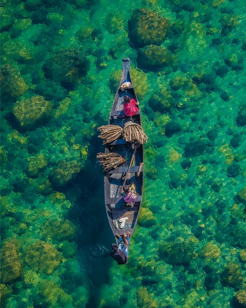
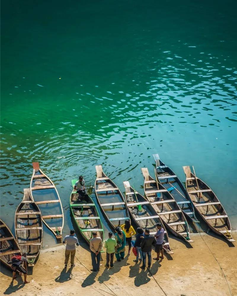
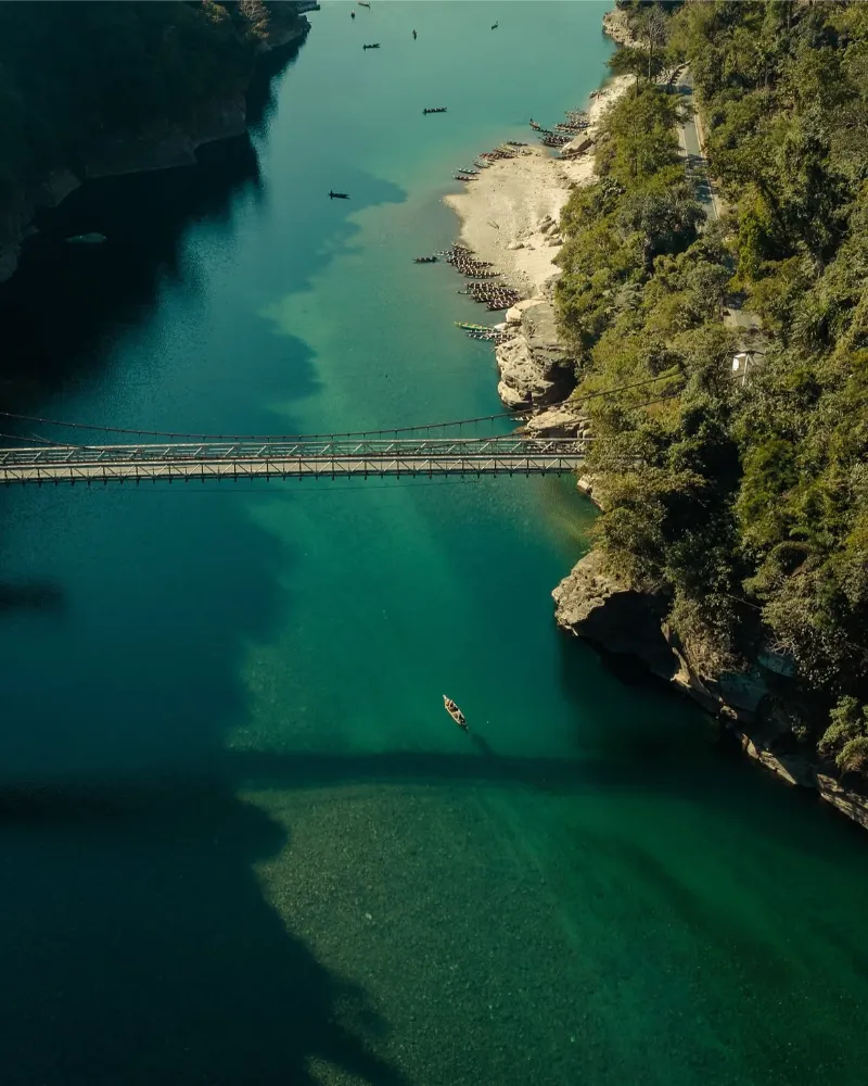
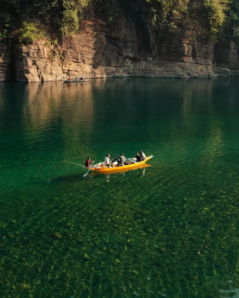
The frontier settlement of Dawki, perched precariously on the international boundary between India and Bangladesh, is universally celebrated for the mesmerizing Umngot River [3]. During the pristine post-monsoonal months, the river exhibits a limpidity so profound that the submerged riverbed becomes entirely visible, creating an enchanting optical illusion where local wooden skiffs appear to float suspended in mid-air [3].

Flanked by luxuriant, emerald hills, the tranquil, crystalline waters of Dawki offer a stark, serene contrast to the turbulent waterfalls found elsewhere in the state. The location provides idyllic opportunities for aquatic exploration, photography, and camping along the pristine, pebble-strewn shores [3].

Crystal Clear RiverBangladesh BorderBoatingOptical IllusionPhotographyCamping
Dawki & The Umngot River image 1 Dawki & The Umngot River image 2 Dawki & The Umngot River image 3 Dawki & The Umngot River image 4
Place 05

Nohkalikai Falls

ActivitiesWaterfall viewingLandscape photographyCultural folklore appreciationNature walks

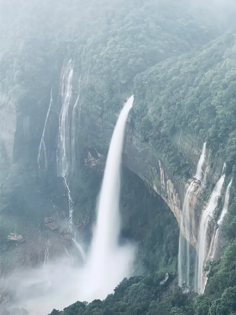
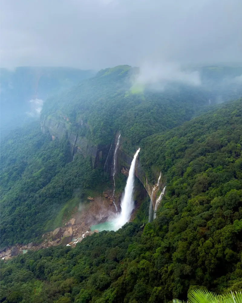
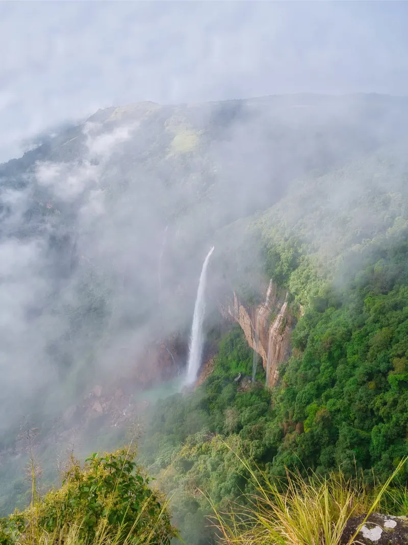
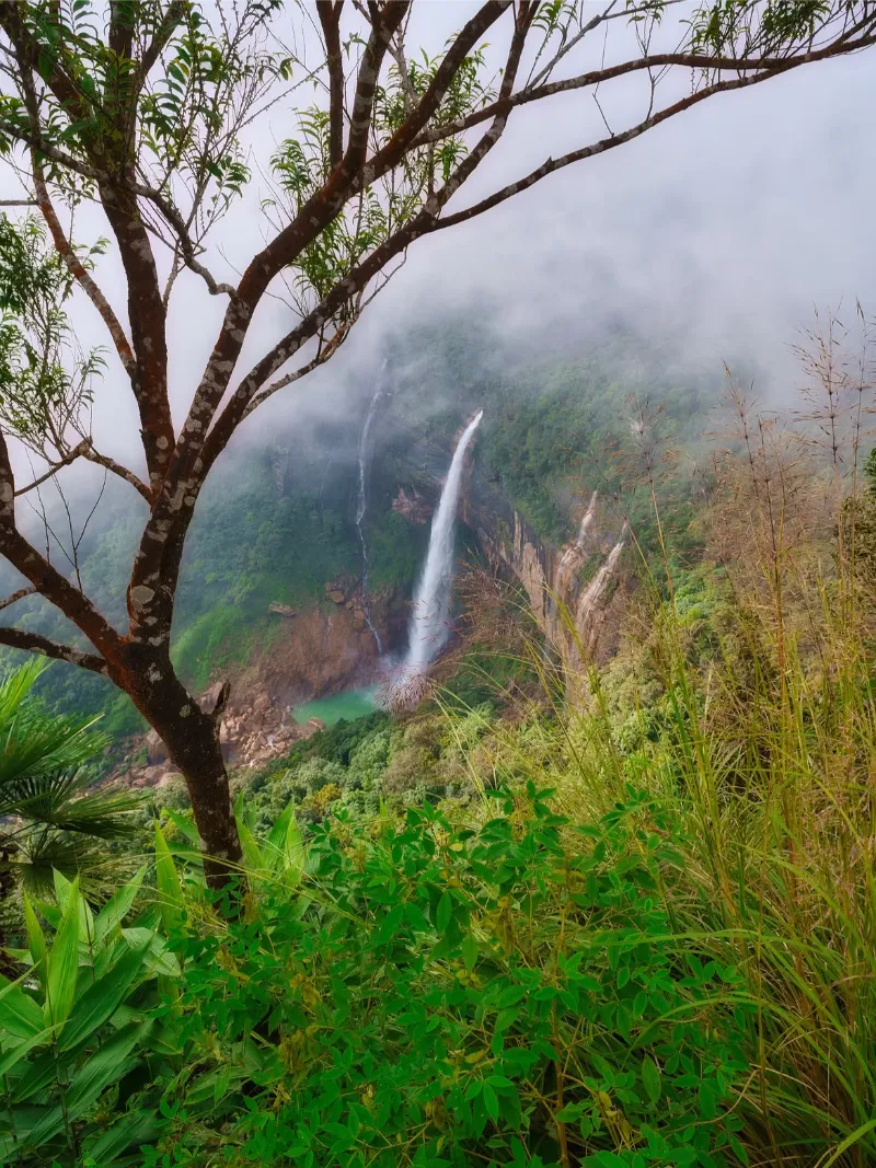
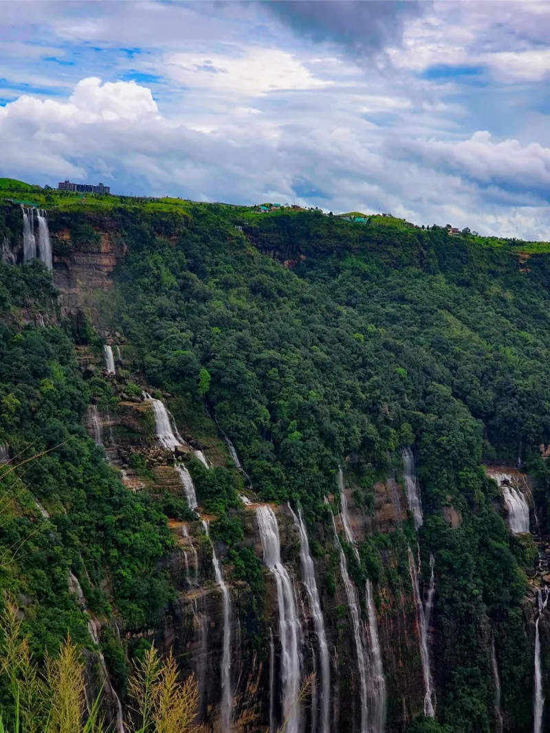
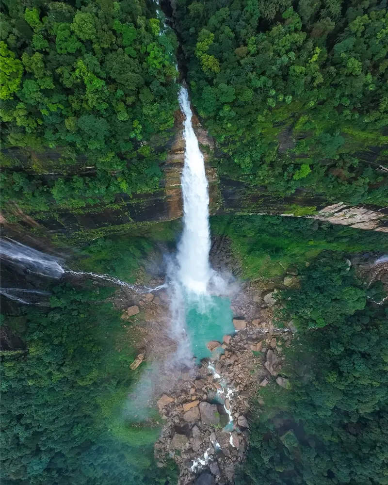
Plummeting from a staggering elevation, Nohkalikai Falls constitutes India's tallest plunge waterfall, a breathtaking cascade that forcefully disintegrates into an enchanting, intensely emerald-hued plunge pool at the canyon's nadir. Set against the sheer, red-rock escarpments of the Cherrapunji plateau, the falls are a testament to the raw, erosive power of Meghalaya's monsoonal deluges.

The site is steeped in a tragic, haunting indigenous legend, adding a layer of profound cultural melancholy to its undeniable visual majesty. Observing the falls, whether enshrouded in ephemeral mists or sharply defined against a cerulean sky, is a superlative experience in natural aesthetics.

Tallest Plunge WaterfallNatural WonderScenic ViewpointCherrapunjiPhotographyKhasi Legend
Nohkalikai Falls image 1 Nohkalikai Falls image 2 Nohkalikai Falls image 3 Nohkalikai Falls image 4
Place 06

Mawlynnong

ActivitiesVillage walksEco-tourism observationPhotographyCanopy walkingLocal cuisine

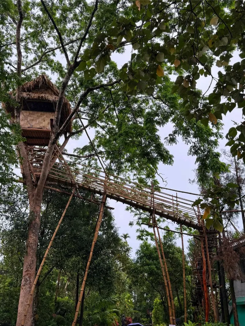
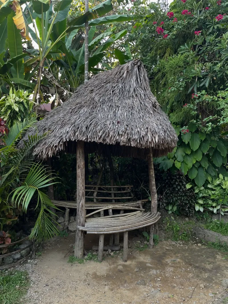
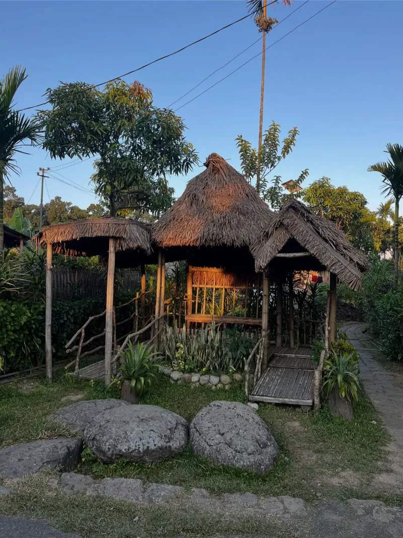
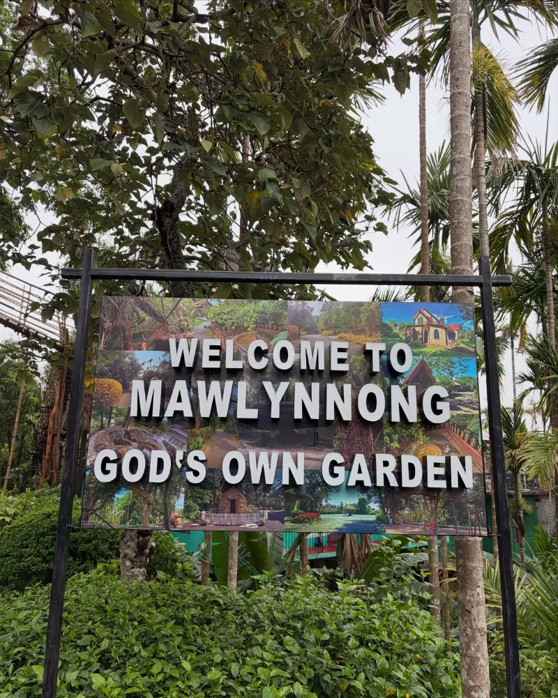
Eulogized extensively as Asia's most immaculate hamlet, Mawlynnong represents the absolute zenith of community-driven ecotourism and sustainable, harmonious agrarian living [3]. The village is a meticulously curated floral sanctuary, characterized by spotless, bamboo-lined pathways, vibrant botanical blooms, and an overarching ethos of communal civic responsibility [3].

Beyond its unblemished aesthetic, the village features extraordinary bamboo skywalks ascending into the forest canopy, affording sweeping panoramas that stretch across the border into the plains of Bangladesh. Mawlynnong stands as an inspiring, tangible manifestation of symbiotic environmental stewardship [3].

Cleanest VillageEcotourismCommunity TourismBamboo SkywalkSustainable LivingRural Charm
Mawlynnong image 1 Mawlynnong image 2 Mawlynnong image 3 Mawlynnong image 4 Mawlynnong image 5
Place 07

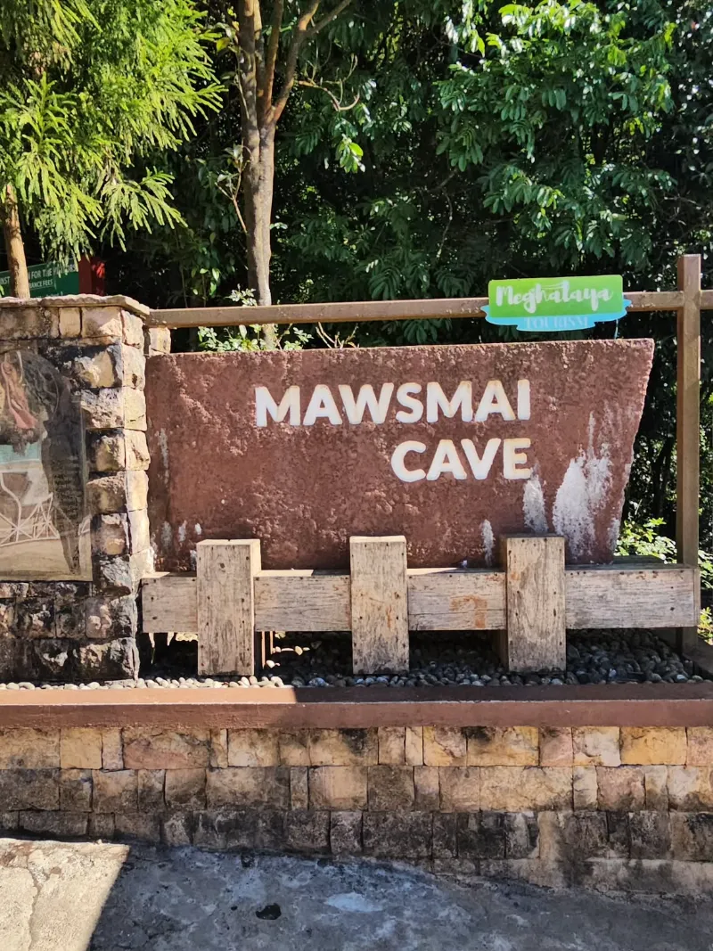
Mawsmai Cave

ActivitiesCave explorationGeological observationPhotographySubterranean walking

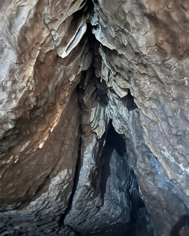
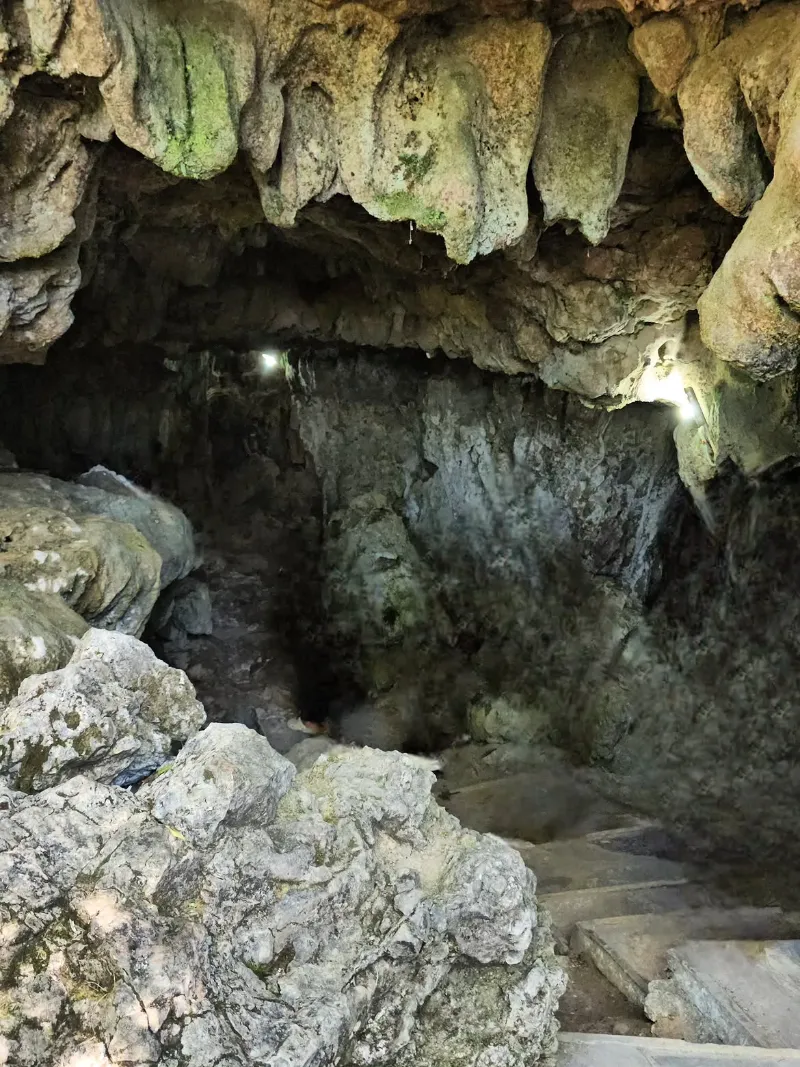
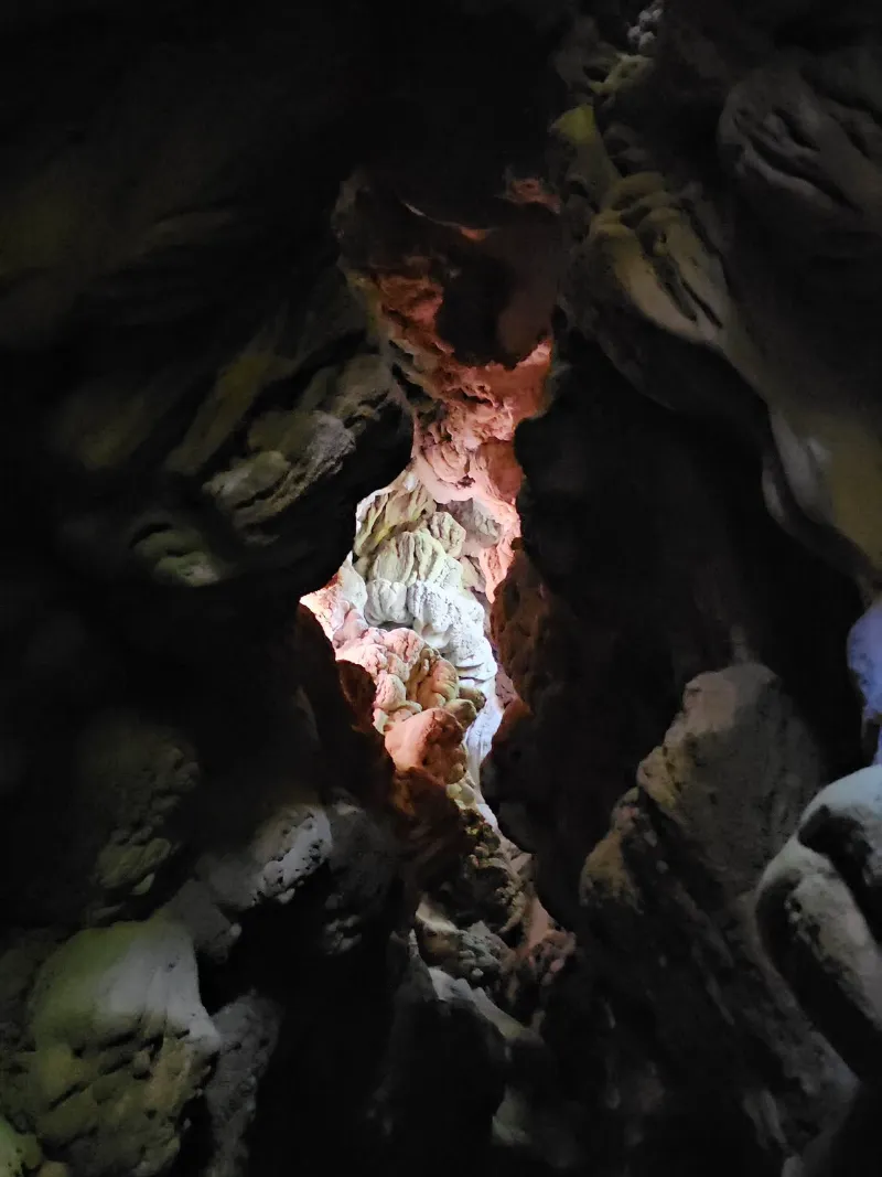
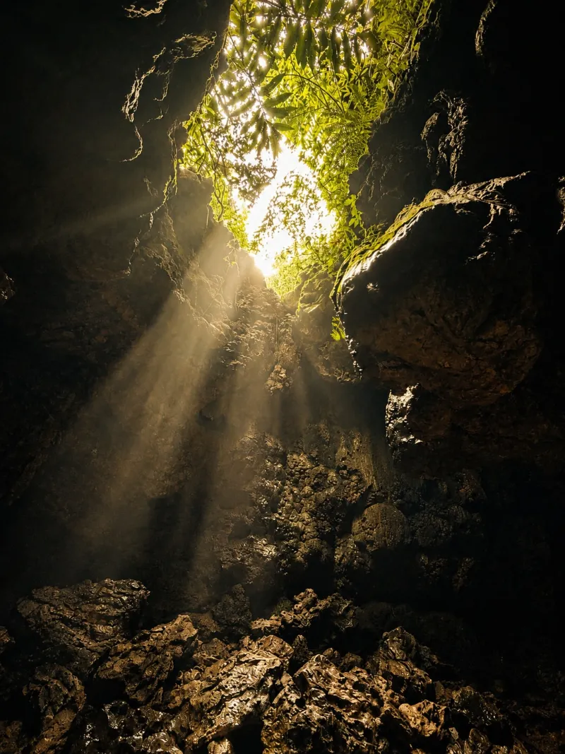
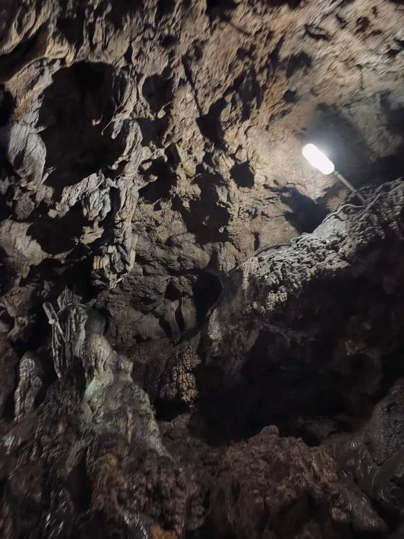
The Mawsmai Cave offers an accessible yet profoundly immersive descent into Meghalaya's extensive, subterranean karst ecosystems. This labyrinthine limestone network is renowned for its spectacular, millennia-old calcified formations, featuring an array of intricate stalactites and stalagmites dramatically illuminated to reveal their textured complexity.

Navigating the cavern involves traversing tight constrictions, expansive subterranean chambers, and shallow subterranean pools, providing a thrilling introduction to speleology. It offers a fascinating geological juxtaposition to the soaring, cloud-draped peaks situated immediately above ground.

Limestone CaveSpeleologyUnderground ExplorationStalactitesGeological MarvelAdventure
Mawsmai Cave image 1 Mawsmai Cave image 2 Mawsmai Cave image 3 Mawsmai Cave image 4 Mawsmai Cave image 5
Place 08

Umiam Lake

ActivitiesBoatingLakeside leisureLandscape photographySunset observationNature walking

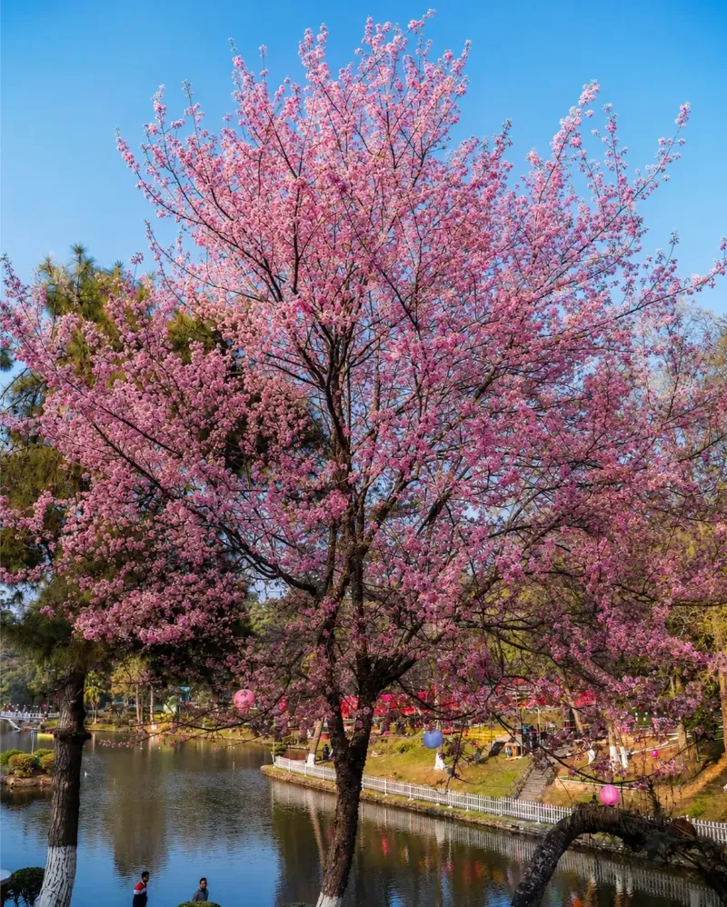
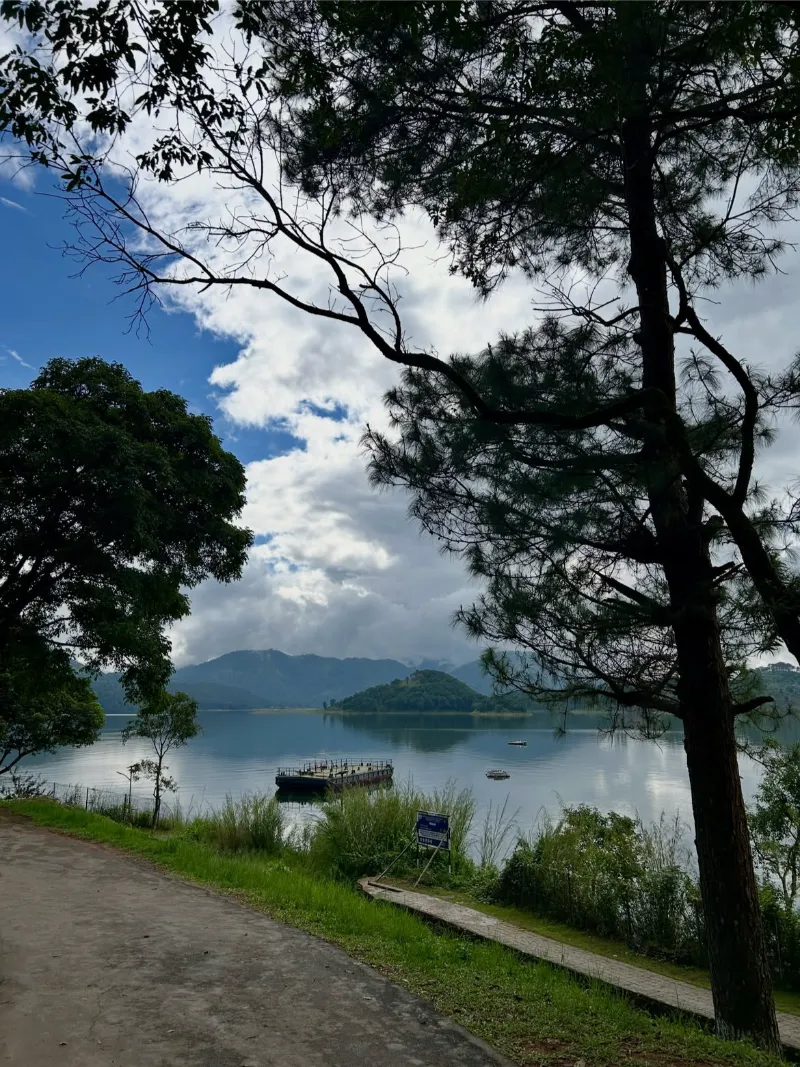
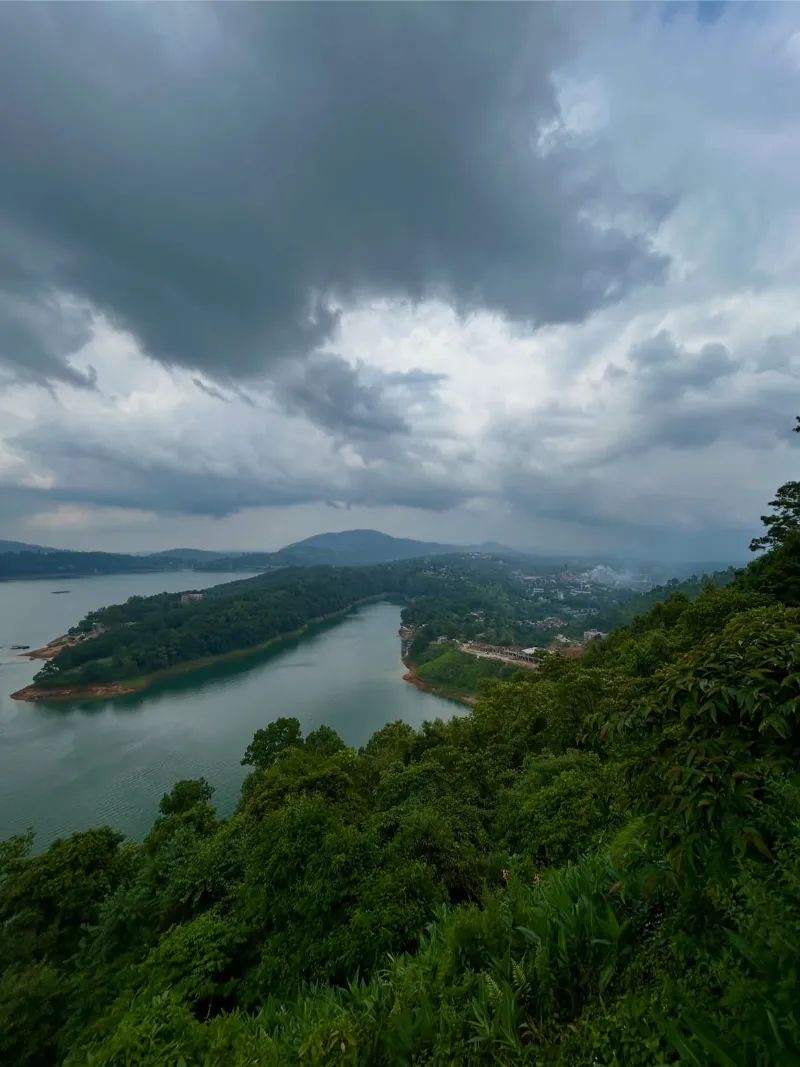
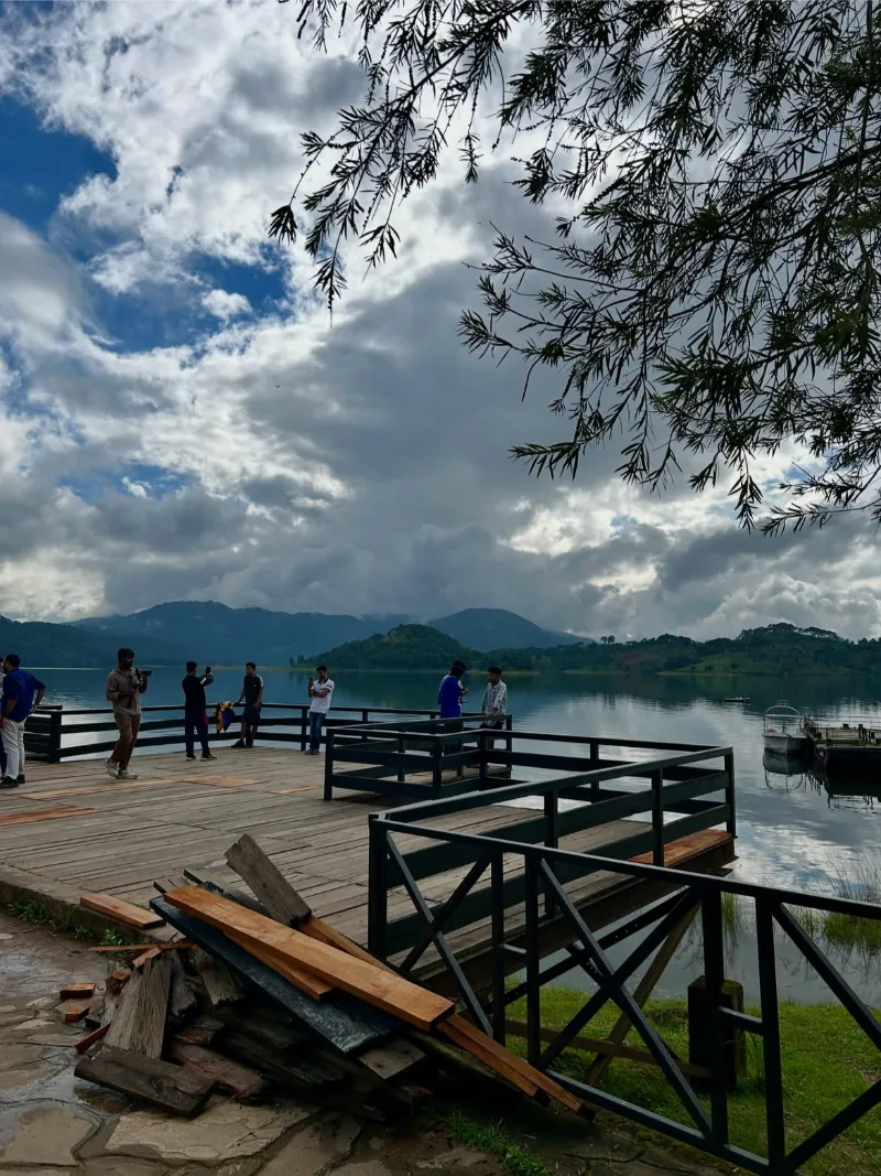
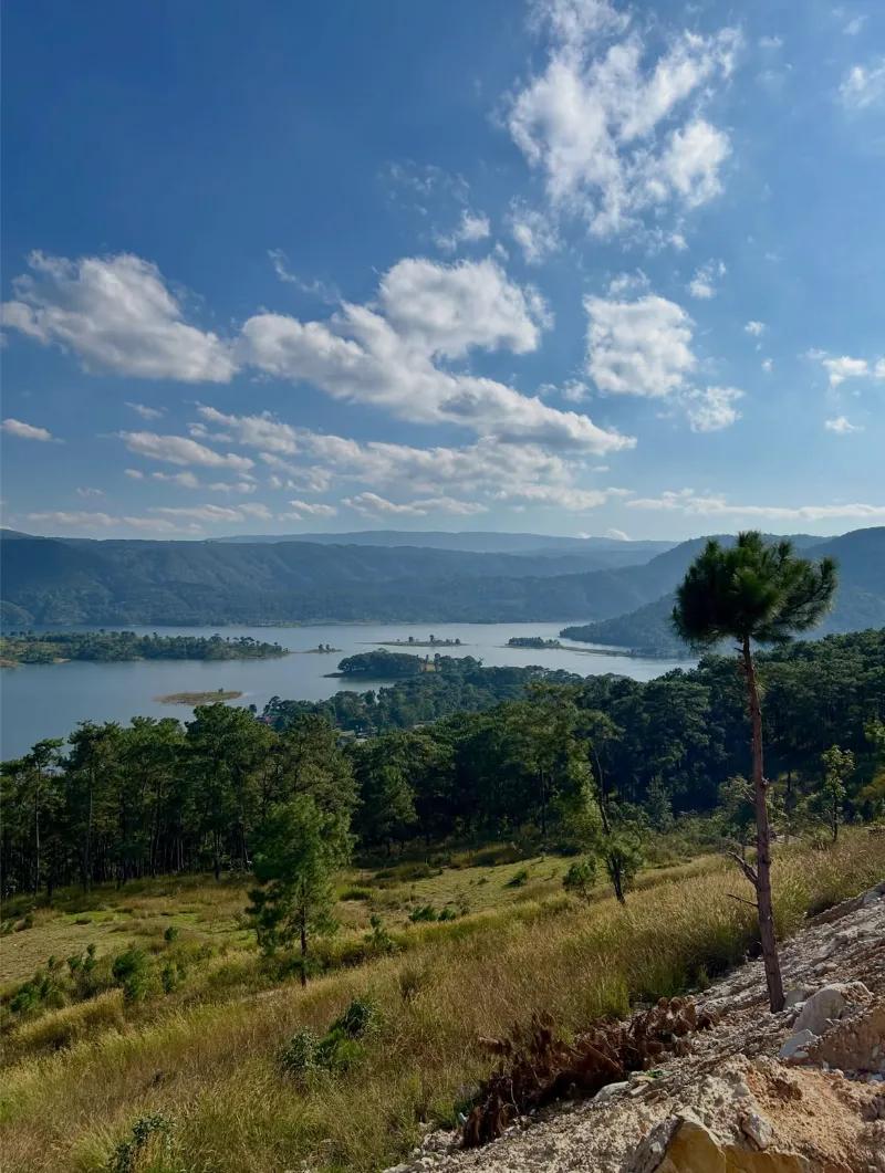
Umiam Lake, a sprawling, sapphire-hued artificial reservoir situated just north of Shillong, commands a breathtaking expanse framed by densely forested, undulating coniferous hills. Originally conceptualized as a hydroelectric utility, the lake has transcended its utilitarian origins to become one of the state's most idyllic and visually resplendent aquatic retreats.

The expansive waterscapes provide a serene tableau for leisurely maritime activities, lakeside picnics, and spectacular sunset contemplations. Its mirror-like surface frequently reflects the dynamic, shifting clouds of the Khasi hills, rendering it a paradise for landscape photographers.

Vast LakeWater SportsScenic ReservoirSunset ViewpointPhotographyLeisure
Umiam Lake image 1 Umiam Lake image 2 Umiam Lake image 3 Umiam Lake image 4

Plan with confidence

Travel details

Practical information for planning your time in Meghalaya.

When to go

Primary
October to April
Secondary
June to September
Description

The optimal window for traversing Meghalaya is heavily contingent upon the traveler's meteorological preferences. For standard exploration, the period spanning October through April is unsurpassed [2]. During these months, the atmospheric turbulence of the monsoon dissipates, granting crystalline blue skies, pleasantly cool temperatures, and the extraordinary phenomenon of the crystal-clear Umngot River in Dawki [3].

Conversely, for purists and pluvophiles eager to witness the 'Abode of Clouds' in its most untamed, elemental majesty, the monsoonal stretch from June to September is spectacular [3, 4]. While torrential downpours frequently disrupt vehicular transit, the reward is an unparalleled sensory immersion into hyper-saturated, emerald landscapes and thunderous, fully swollen waterfalls [4, 5].

Travelers must meticulously calibrate their itineraries: winter ensures flawless accessibility and pellucid waters, whereas the monsoon promises a visceral, dramatic wilderness fraught with logistical complexities [5].

Know before you go

Elevation
Value
Approximately 150 meters to 1,961 meters
Unit
meters above sea level
Description

Meghalaya's topography exhibits a dramatic altitudinal gradient, sweeping upward from the low-lying riverine borders of Bangladesh to the commanding zenith of Shillong Peak at 1,961 meters. This profound verticality engineers the state's unique orographic rainfall patterns and spectacular cliffside drops.

Climate
Average Range
Approximately 4°C to 25°C
Summer
Approximately 15°C to 25°C
Winter
Approximately 4°C to 16°C
Description

The thermal disposition of Meghalaya remains notably mild and equitable year-round, circumventing the scorching extremes of the Indian plains [3]. While the diurnal temperatures during summer are blissfully moderate, the winter solstice invariably demands substantial insulated apparel, particularly for nocturnal ventures [4].

How to reach

By Air
Name

By Air

Umroi Airport (Shillong Airport) furnishes limited, albeit highly convenient, regional connectivity to select Indian metropolises. However, for paramount reliability and frequency, the Lokpriya Gopinath Bordoloi International Airport in Guwahati, Assam, stands as the predominant aviation gateway to the region.

Upon disembarking in Guwahati, voyagers initiate a visually arresting, three-to-four-hour overland ascent, navigating a beautifully engineered, sinuous highway that gradually climbs into the cool embrace of the Khasi Hills.
By Rail
Name

By Rail

Meghalaya itself completely eschews a comprehensive internal railway network due to its formidable topography. Consequently, Guwahati Railway Station in Assam serves as the indispensable terrestrial nexus, boasting extensive arterial connections to every major node within the national rail grid.

From Guwahati station, travelers transition seamlessly to a robust fleet of chartered taxis or public omnibuses that relentlessly ply the serpentine NH6, funneling visitors upward into the capital city of Shillong.

By Road
Name

By Road

The state is intricately interwoven into the northeastern transit corridor via the remarkably well-maintained National Highway 6, which orchestrates the primary umbilical connection between Guwahati and Shillong.

Within Meghalaya, a rugged, capillary network of mountain roads branches outward, facilitating access to remote enclaves like Cherrapunji and Dawki. While the main arterial routes are commendably surfaced, navigation towards the periphery frequently necessitates robust utility vehicles and a healthy respect for the unpredictable monsoonal mists.
Seasonal guide

Name

Spring & Early Summer

Months
March to May
Temperature
Approximately 15°C to 25°C
Description

Spring ushers in a temperate, balmy warmth that proves exceptionally conducive to rigorous trekking and comprehensive sightseeing [4]. The terrain retains a vibrant hue, and localized, sporadic pre-monsoon showers begin to invigorate the dormant waterfalls without entirely severing logistical accessibility [4].

Name

Monsoon

Months
June to September
Temperature
Approximately 18°C to 25°C
Description

The monsoonal epoch unleashes a relentless, dramatic deluge, cementing the region's status as one of the wettest on Earth [5]. A ubiquitous, ethereal mist blankets the hillsides, and waterfalls detonate with terrifying, magnificent force, though extensive overland travel can become significantly precarious [5].

Name

Autumn

Months
October to November
Temperature
Approximately 13°C to 22°C
Description

Autumn represents a glorious, highly coveted meteorological transition [4]. The relentless rains retreat, unveiling staggeringly sharp, panoramic visibility, lush post-monsoonal vegetation, and perfectly temperate conditions tailored for exhaustive outdoor excursions and cultural festivals [4].

Name

Winter

Months
December to February
Temperature
Approximately 4°C to 16°C
Description

Winter bestows a crisp, penetrating chill upon the plateaus, characterized by brilliantly sunlit days and noticeably frigid nights [5]. The extreme aridity renders the region's rivers and pools startlingly transparent, making this the unquestionable zenith for visiting Dawki and engaging in unimpeded caving expeditions [3, 5].

Travel this way

Packages for Meghalaya

Start with a route shaped around the character of Meghalaya.

View all Meghalaya packages
Meghalaya Living Roots Trail
5N / 6D Meghalaya

Meghalaya Living Roots Trail

Waterfalls, forest walks, and living root bridges at a gentler pace.

Explore this package
Meghalaya Scenic Escape
4N / 5D Meghalaya

Meghalaya Scenic Escape

A local-led journey through Shillong, Cherrapunji, and quiet villages.

Explore this package