PicoVoyage

Charting your North East escape

Arunachal Pradesh image 1 Arunachal Pradesh image 2 Arunachal Pradesh image 3 Arunachal Pradesh image 4 Arunachal Pradesh image 5

Explore the region

Arunachal Pradesh

Revered as the 'Land of the Dawn-Lit Mountains,' Arunachal Pradesh constitutes the wildest, most enigmatic frontier of the Eastern Himalayas. Spanning a colossal altitudinal spectrum from the sub-tropical riverine foo...

Arunachal Pradesh 8 places to visit

The destination

About Arunachal Pradesh

A considered guide to the landscapes, culture, and places that make Arunachal Pradesh worth discovering.

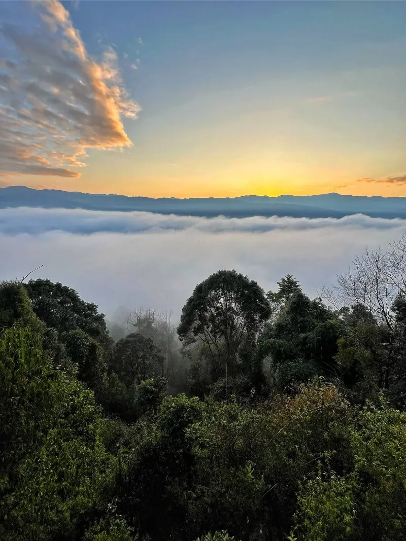
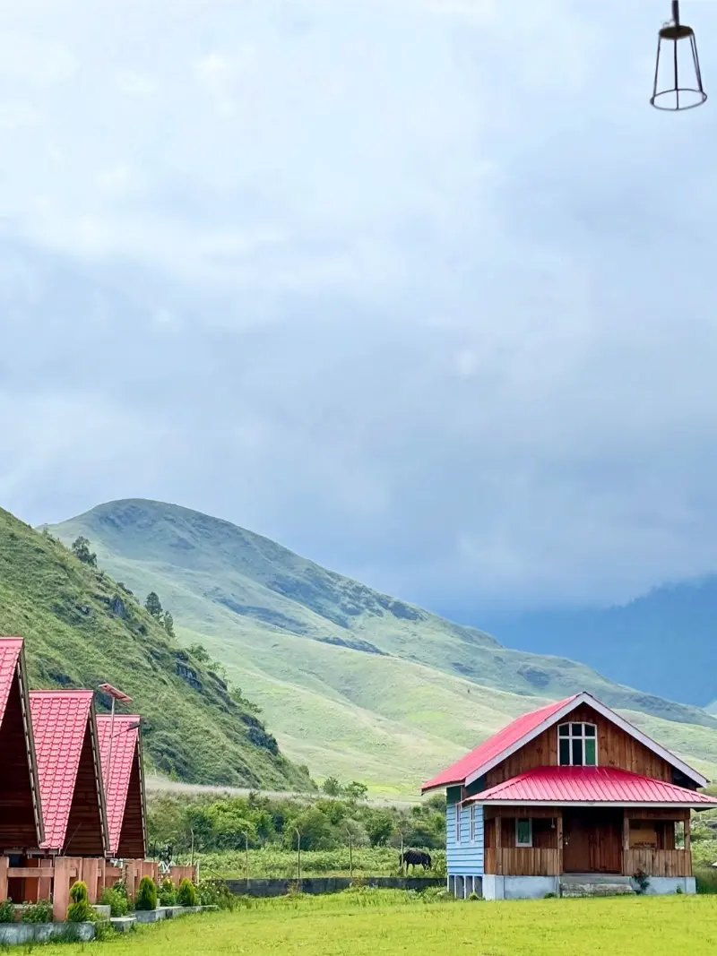
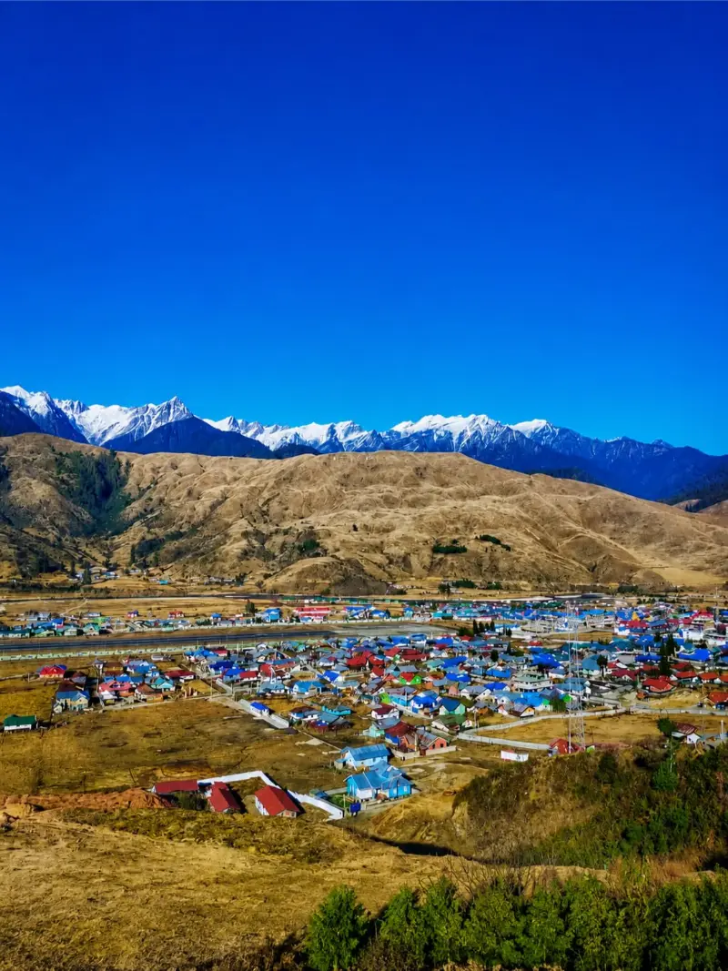
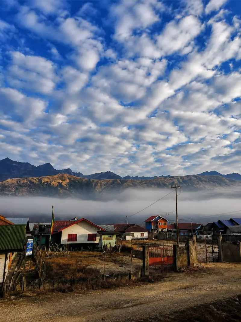
Revered as the 'Land of the Dawn-Lit Mountains,' Arunachal Pradesh constitutes the wildest, most enigmatic frontier of the Eastern Himalayas. Spanning a colossal altitudinal spectrum from the sub-tropical riverine foothills of the Brahmaputra basin to the perennially glaciated, jagged ramparts along the Tibetan and Burmese borders, this sovereign wilderness remains one of the world's most ecologically pristine and culturally untamed bio-reserves.

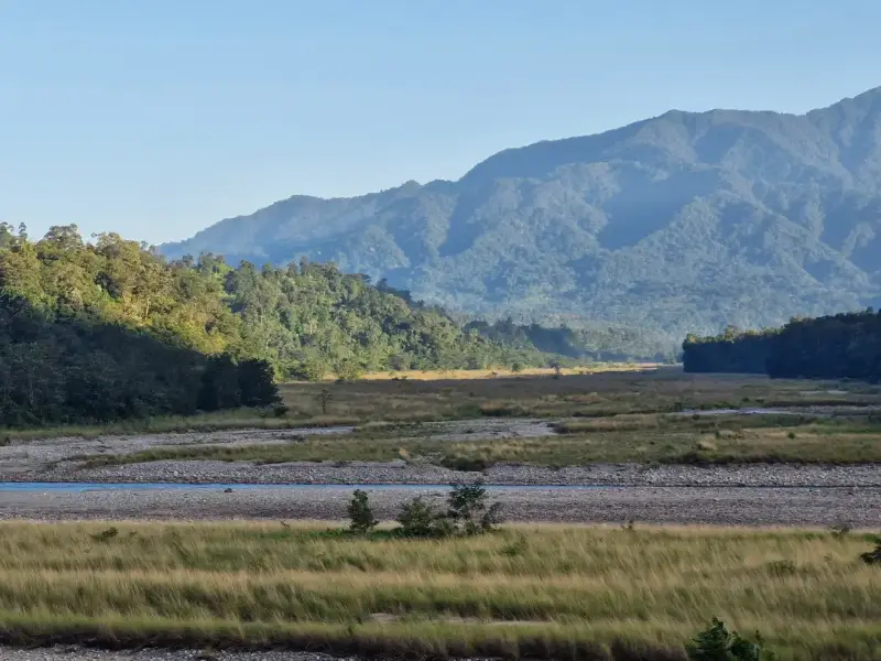
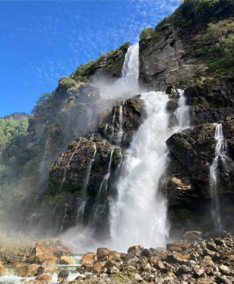
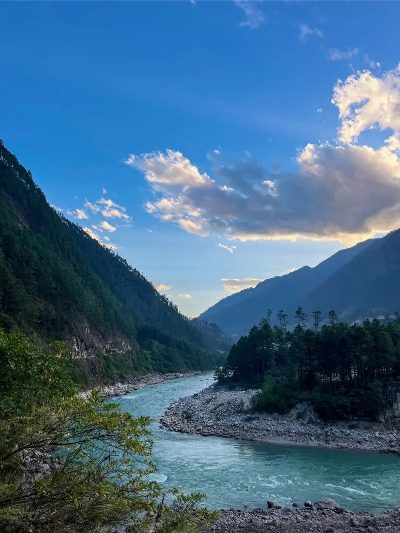
The state's rugged morphology is sculpted by five major torrential river systems—Kameng, Subansiri, Siang, Dibang, and Lohit—which carve colossal, vertiginous gorges through primordial rainforests and alpine tundras. This dramatic geography nurtures an extraordinary anthropological mosaic of over twenty-six major indigenous tribes, including the Monpa, Apatani, Nyishi, and Mishmi, each meticulously preserving archaic animistic rituals, intricate architectural crafts, and sustainable agro-forestry systems.

Arunachal Pradesh is an esoteric sanctuary strictly suited for intrepid alpinists, ethnographers, ornithologists, and high-altitude voyagers. Its alluring juxtaposition of monumental Tibetan Buddhist monasteries, mist-draped sacred valleys, and uncharted biological sanctuaries establishes it as a superlative expeditionary frontier in the Asian subcontinent.

Eastern HimalayasLand of the Dawn-Lit MountainsTibetan BuddhismIndigenous HeritageHigh-Altitude PassesPristine RainforestsEcotourismExpeditionary TravelBiodiversity HotspotTrekking
Best timeOctober to April
ElevationApproximately 50 meters to over 7,000 meters
Typical climateApproximately -5°C to 30°C

Build your itinerary

Places to explore

Start with the experiences that best fit the way you want to travel.

Place 01

Tawang

ActivitiesMonastery toursHeritage explorationLandscape photographyHigh-altitude walksCultural observation

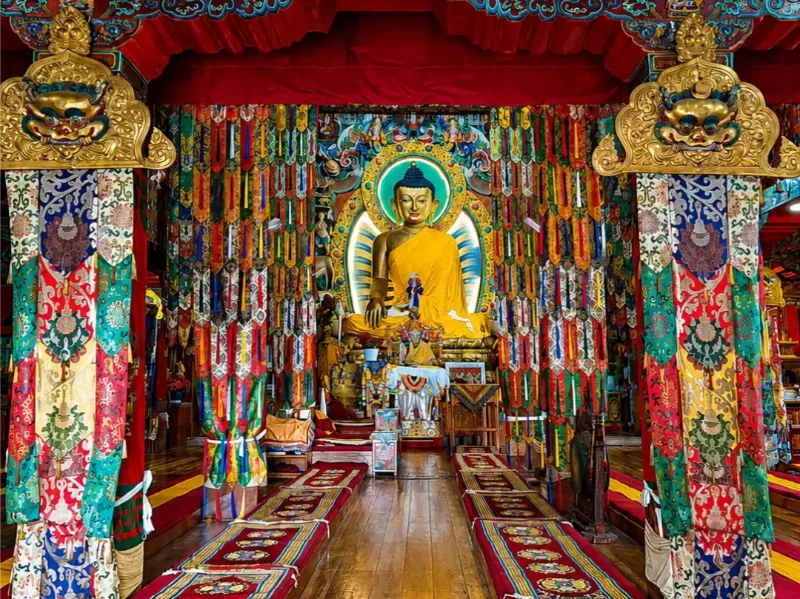
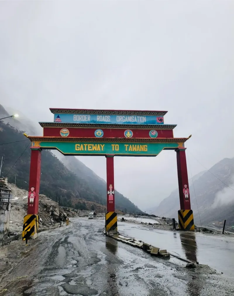
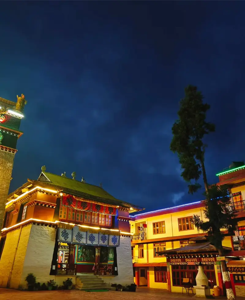
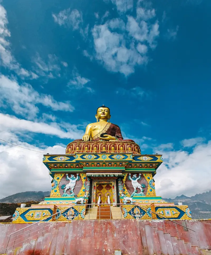
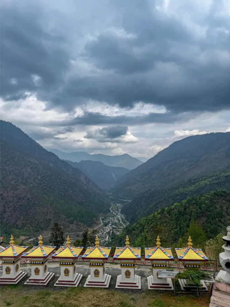
Perched precariously at an elevation of approximately 3,048 meters, Tawang is a monumental bastion of Mahayana Buddhism and the crown jewel of western Arunachal Pradesh. Overlooking deep, amphitheater-like valleys and guarded by jagged, snow-mantled peaks, this elevated settlement possesses an intoxicating blend of spiritual solemnity and alpine majesty.

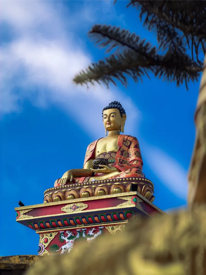
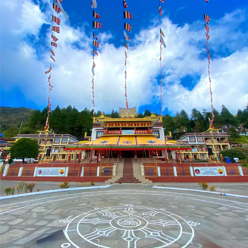
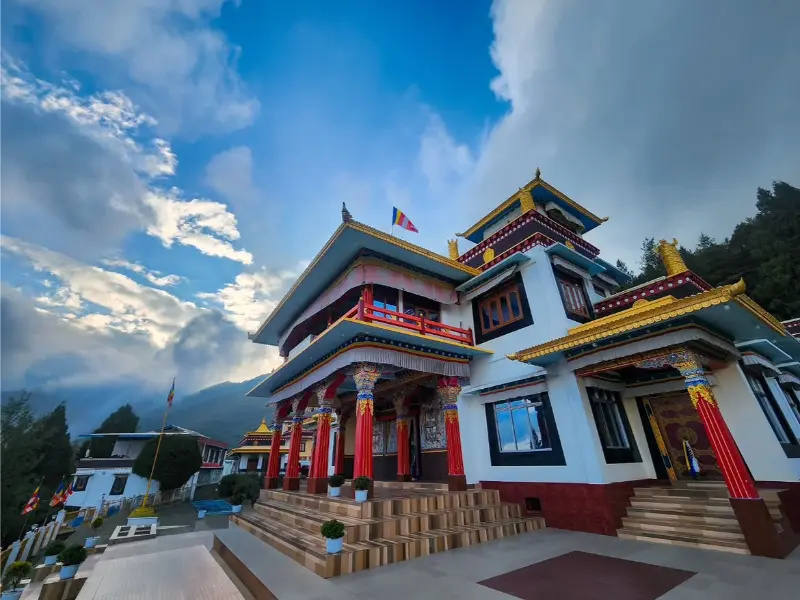
The township is dominated by the legendary Tawang Monastery (Galden Namgey Lhatse), the second-largest Tibetan Buddhist monastery in the world, founded in the 17th century. Functioning as the spiritual heartbeat of the Monpa people and the historic birthplace of the 6th Dalai Lama, Tawang provides an incomparable vantage for cultural contemplation, archaic manuscript preservation, and sweeping Himalayan panoramas.
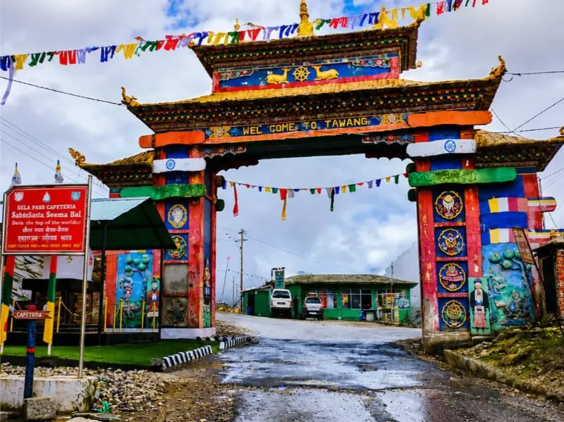
Buddhist MonasteryHigh AltitudeMonpa CultureHimalayan PanoramaCultural HeritageSpiritual Tourism
Tawang image 1 Tawang image 2 Tawang image 3 Tawang image 4 Tawang image 5
Place 02

Ziro Valley

ActivitiesVillage walksAgrarian observationPhotographyTribal cultural immersionMusic festivals

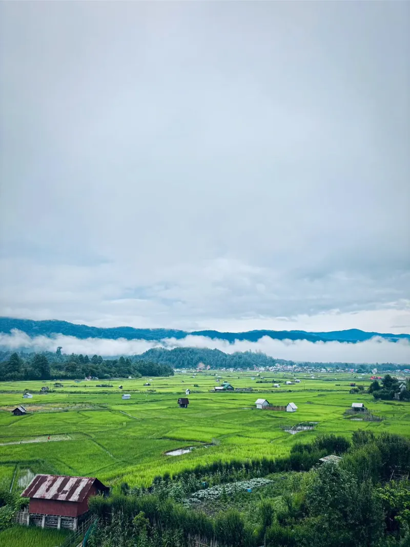
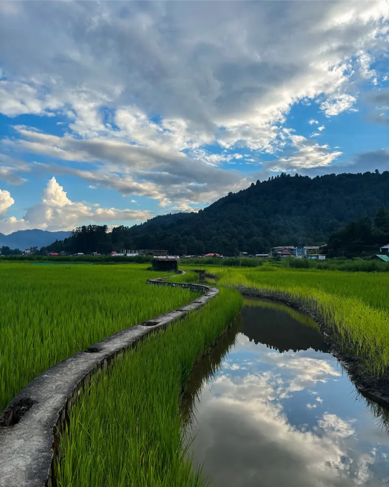
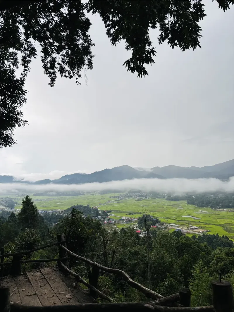
The Ziro Valley is an idyllic, UNESCO-nominated plateau enveloped by layered pine-clad ridges and terraced, emerald wetlands. Positioned as an agrarian sanctuary, the valley is the ancestral homeland of the Apatani tribe, universally celebrated for their ingenious, non-mechanized wet-rice and fish co-cultivation agro-ecosystems and distinctive cultural ornamentation.

Far removed from the frenetic pace of modern urbanization, Ziro emanates a profound, bucolic equilibrium where ancient animist traditions (Donyi-Polo) harmoniously coalesce with sustainable forest stewardship. The valley is also a modern cultural beacon, hosting the internationally acclaimed open-air Ziro Festival of Music amidst its whispering groves.

Apatani HeritageUNESCO Tentative SiteAgrarian LandscapePine ForestsMusic FestivalCultural Tourism
Ziro Valley image 1 Ziro Valley image 2 Ziro Valley image 3 Ziro Valley image 4
Place 03

Sela Pass

ActivitiesMountain pass crossingGlacial lake observationHigh-altitude photographySnow exploration

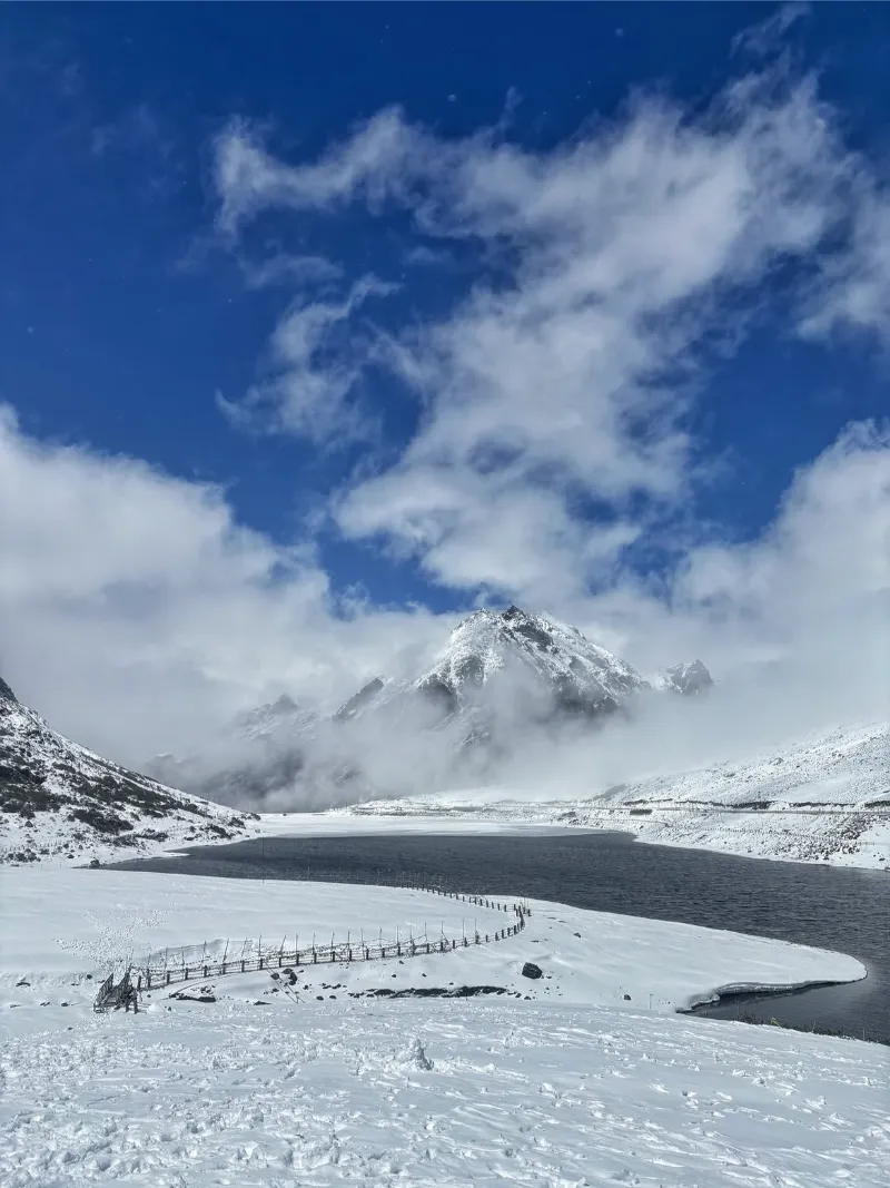
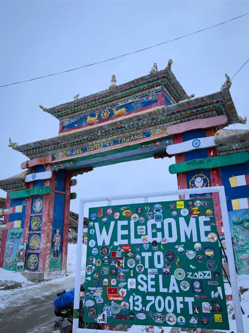
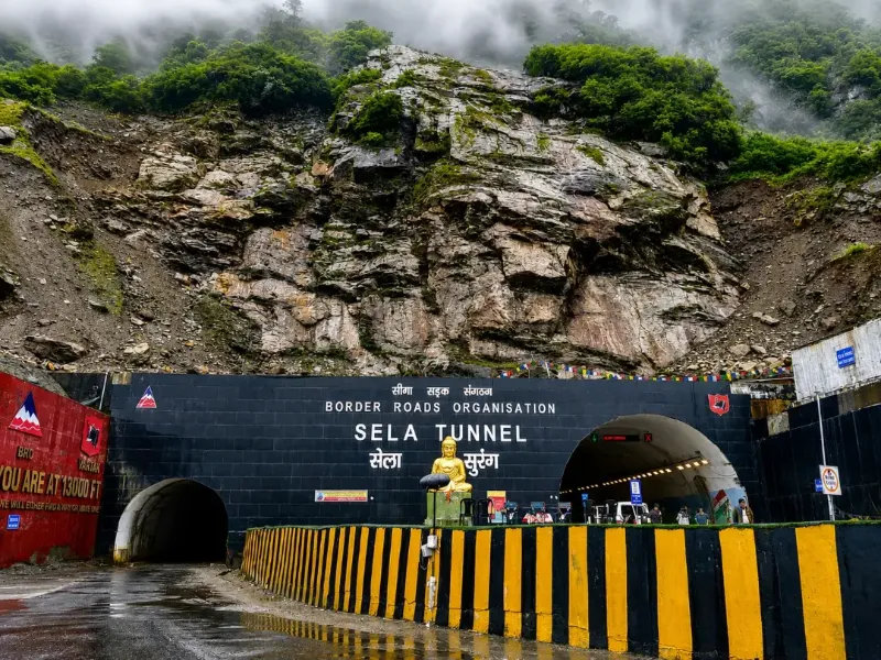
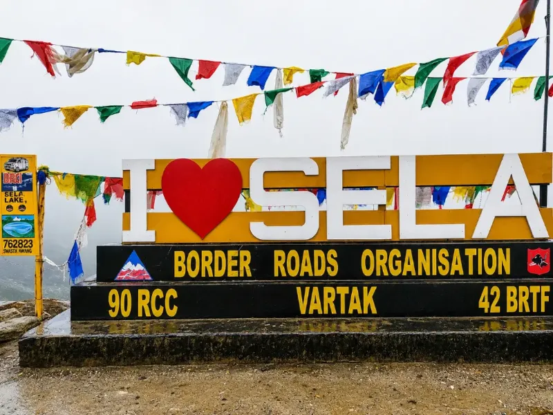
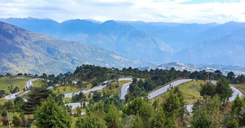
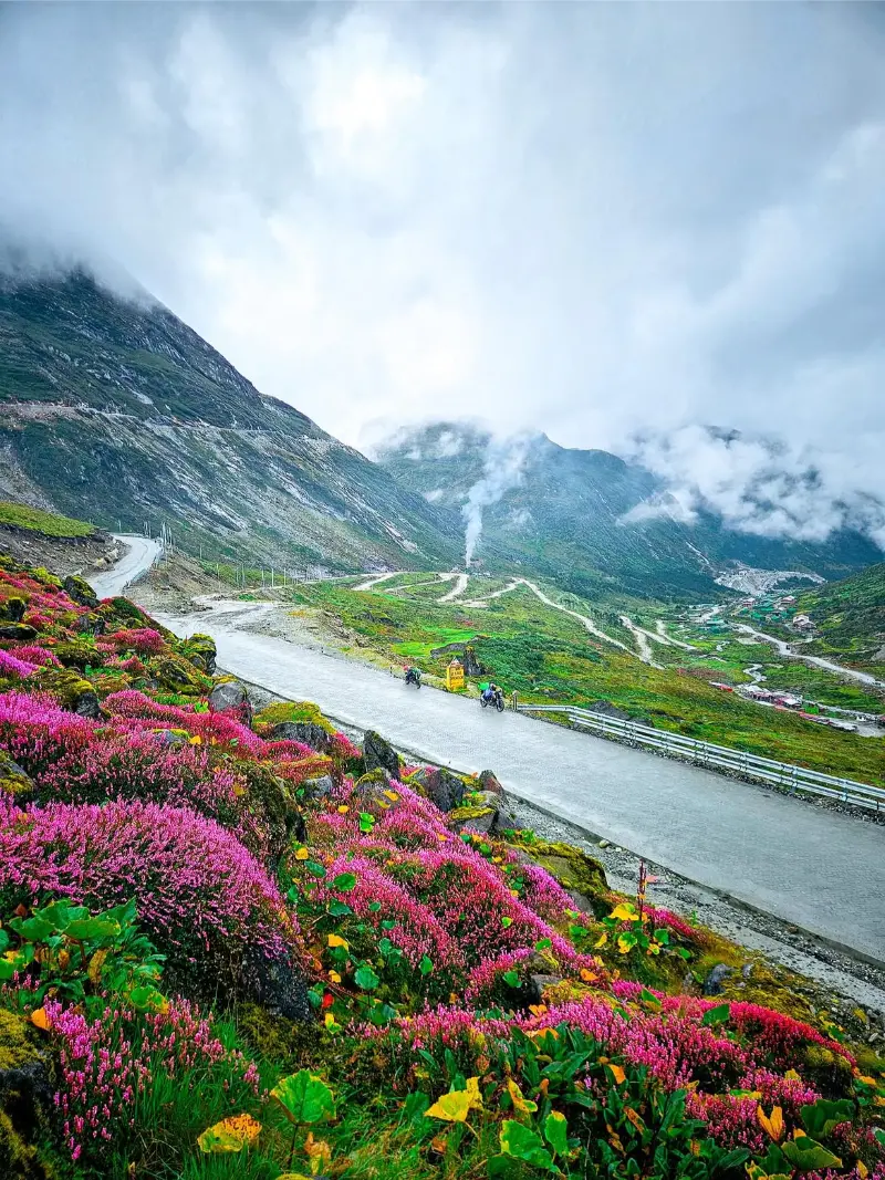
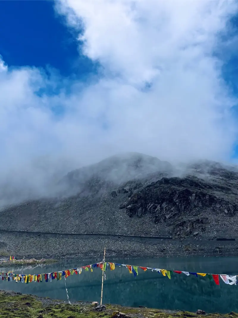
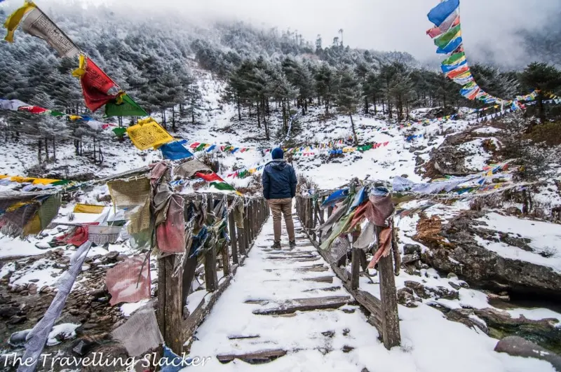
Ascending to a staggering altitude of 4,170 meters, Sela Pass serves as the monumental, high-altitude umbilical pass linking the Tawang district to the rest of India. This austere, windswept gap in the Eastern Himalayas is flanked by barren, craggy precipices and is perennially subjected to sub-zero temperatures and biting blizzards.

At the summit of the pass lies the sacrosanct Sela Lake (often called Paradise Lake), an ethereal body of water that freezes entirely during the hyperborean winter, creating a crystalline, almost lunar tableau. The pass constitutes a formidable threshold of physical endurance and an unforgettable panorama of high-Himalayan grandeur.

High Mountain PassGlacial LakeSnow LandscapeExtreme AltitudeAdventurePhotography
Sela Pass image 1 Sela Pass image 2 Sela Pass image 3 Sela Pass image 4
Place 04

Mechuka (Menchukha Valley)

ActivitiesAlpine trekkingMonastery explorationRiver walksLandscape photographyCamping

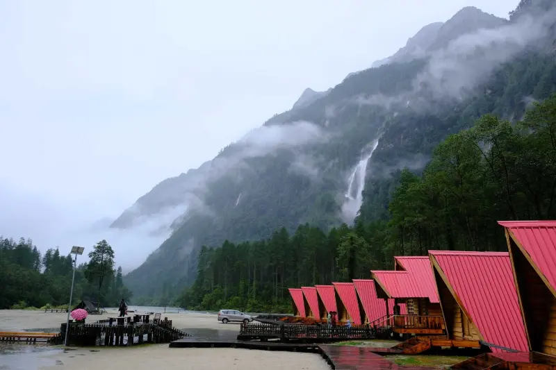
Secluded in the remote northern recesses of the Shi Yomi district near the international border, Mechuka—literally translating to 'Medicinal Water of Snow'—is a dreamlike, high-altitude vale of pristine beauty. The serpentine Yargyapchu River meanders lazily through rolling, velvet grasslands, surrounded by colossal snow-crowned massifs.

Inhabited by the Memba, Ramo, and Bokar tribes, Mechuka preserves the 400-year-old Samten Yongcha Monastery, perched on a strategic promontory overlooking the valley. Its raw, unblemished wilderness, free from mass commercialization, makes it one of the most sublime and pristine adventure frontiers in Asia.

Remote Alpine ValleyForbidden ValleyRiver LandscapesAncient MonasteryPristine WildernessAdventure
Mechuka (Menchukha Valley) image 1 Mechuka (Menchukha Valley) image 2 Mechuka (Menchukha Valley) image 3 Mechuka (Menchukha Valley) image 4
Place 05

Namdapha National Park

ActivitiesWilderness trekkingOrnithologyFauna trackingEcological studyNature photography

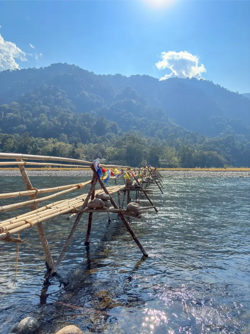
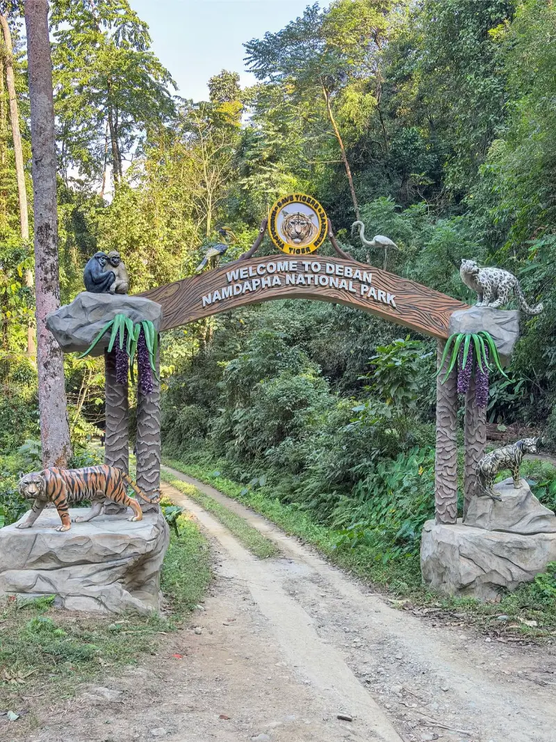
Spanning a colossal altitudinal spectrum within the Changlang district, Namdapha National Park is a monumental biodiversity hotspot harboring some of the densest primary tropical rainforests and temperate alpine biomes on the planet. Its impenetrable wilderness is famously the only sanctuary in the world known to sustain four apex feline species: the tiger, leopard, snow leopard, and clouded leopard.

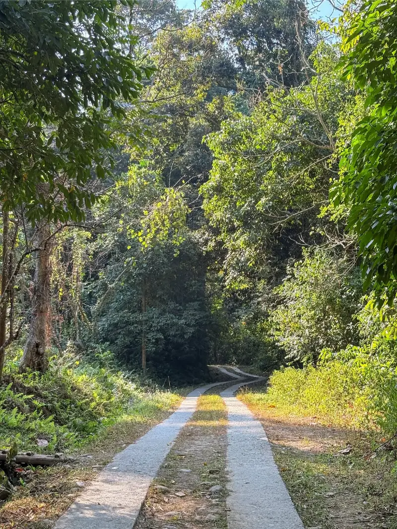
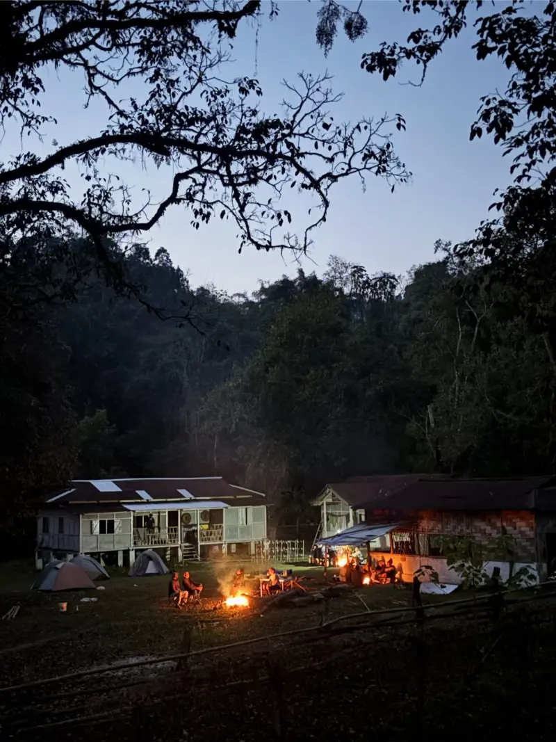
The park represents a primeval biological sanctuary, threaded with virgin rivers, colossal Dipterocarp canopies, and uncataloged flora. For dedicated naturalists and wilderness purists, traversing Namdapha is an intense, multi-day expedition into uncharted ecological frontiers.

Biodiversity HotspotNational ParkPrimary RainforestBig Cat SanctuaryWildlifeIntrepid Trekking
Namdapha National Park image 1 Namdapha National Park image 2 Namdapha National Park image 3 Namdapha National Park image 4 Namdapha National Park image 5
Place 06

Dirang

ActivitiesDzong explorationHot spring soakingOrchard walksBirdwatchingPhotography

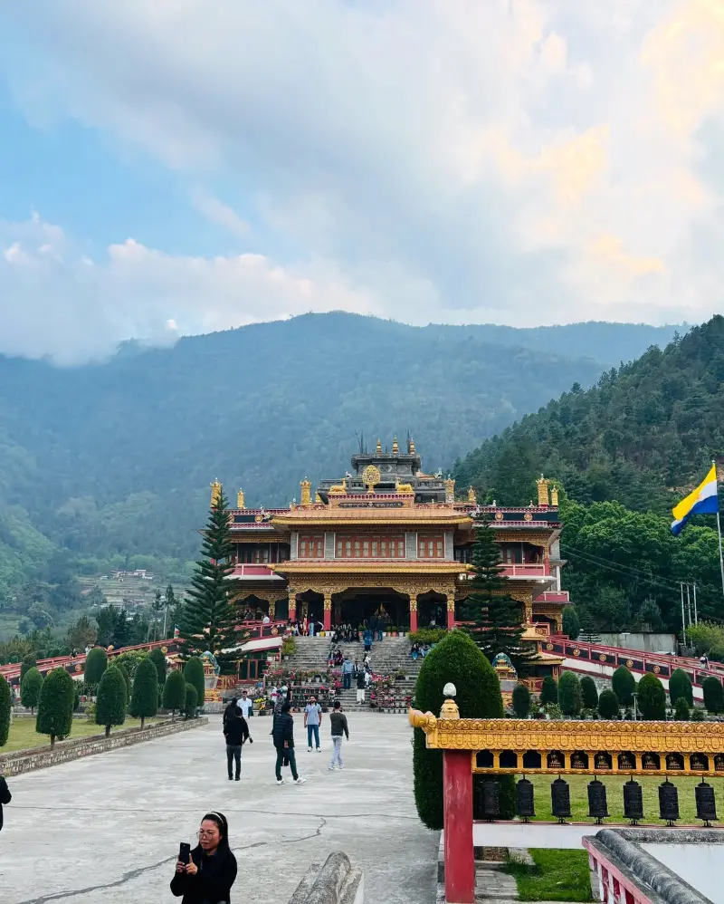
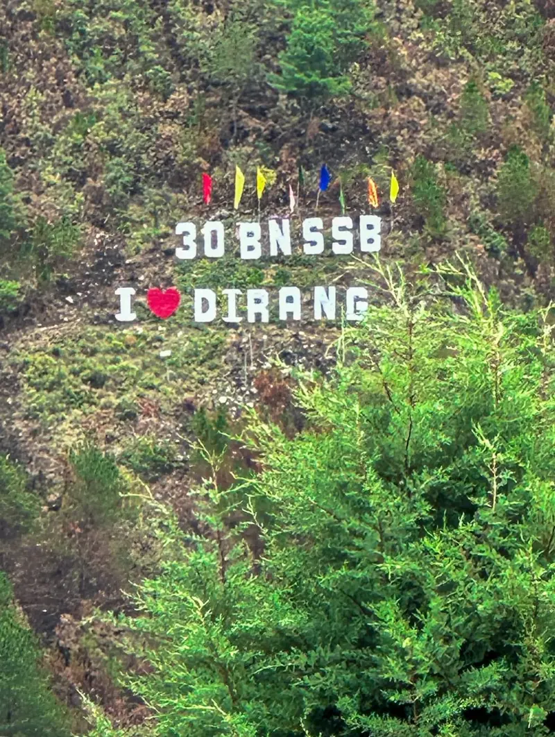
Nestled within a picturesque valley along the Kameng River basin, Dirang is a tranquil settlement that functions as an idyllic temperate haven en route to the high passes of Tawang. Surrounded by terraced apple and kiwi orchards, the valley is blessed with a remarkably benign microclimate and natural sulfurous hot springs.

The historical centerpiece of the settlement is the 17th-century Dirang Dzong (fortress), a masterclass in vernacular stone and timber defensive architecture that sheltered the Monpa inhabitants during historical conflicts. Its charming juxtaposition of traditional Monpa stone hamlets and riverside tranquility provides a restorative respite.

River ValleyHistorical DzongHot SpringsOrchardsMonpa ArchitectureNature
Dirang image 1 Dirang image 2 Dirang image 3 Dirang image 4 Dirang image 5
Place 07

Sangetsar Lake (Madhuri Lake)

ActivitiesLake perimeter walksLandscape photographyHigh-altitude explorationSpiritual contemplation

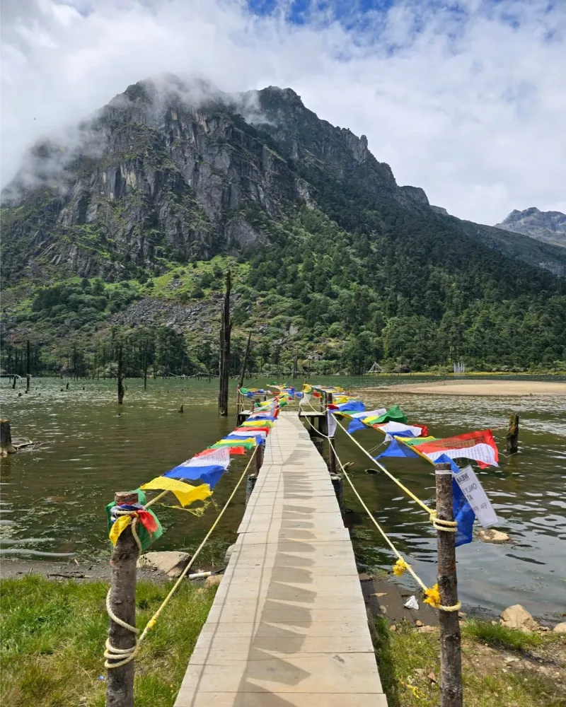
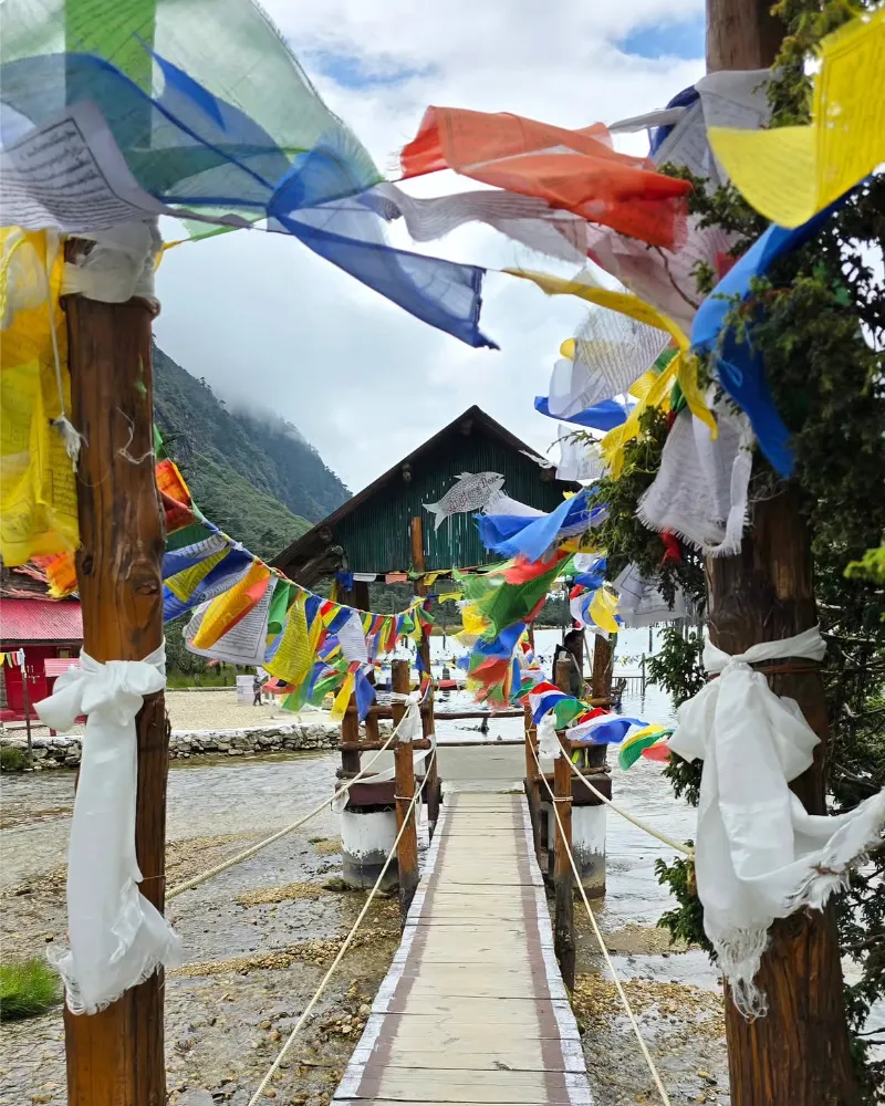
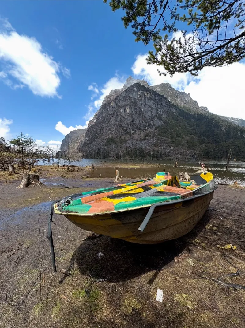
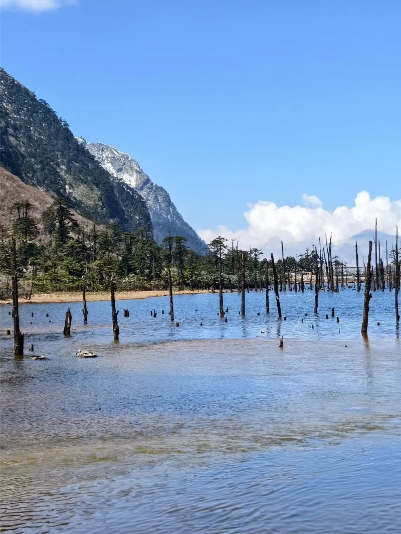
Formed in the aftermath of a cataclysmic earthquake in 1950, Sangetsar Lake is a high-altitude tarn situated beyond Tawang near the Tibetan frontier. The lake presents a surreal, hauntingly beautiful topography, characterized by the petrified, skeletal trunks of dead pine trees that emerge eerily from the turquoise, glacial waters.

Encircled by sheer, snow-dusted escarpments, glacial scree, and windswept alpine scrub, the lake holds deep spiritual sanctity for the local Monpa populace. The approach to this high-altitude basin winds through some of the most dramatic, boulder-strewn tundra landscapes in the Eastern Himalayas.
High Altitude LakeSeismic FormationSurreal LandscapeAlpine TundraPhotographySacred Water
Sangetsar Lake (Madhuri Lake) image 1 Sangetsar Lake (Madhuri Lake) image 2 Sangetsar Lake (Madhuri Lake) image 3 Sangetsar Lake (Madhuri Lake) image 4
Place 08

Bomdila

ActivitiesGompa visitsPanoramic viewpoint walksTraditional handicraft shoppingPhotography

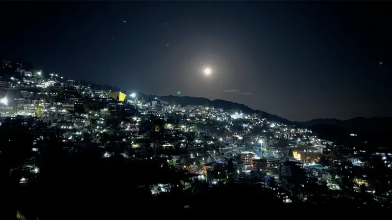
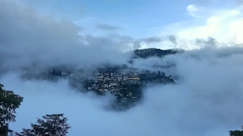
Perched upon a commanding ridge, Bomdila serves as the administrative capital of West Kameng, renowned for its panoramic, unobstructed vistas that stretch across the valley toward the towering, snow-crowned massifs of Kangto and Gorichen. The town is an engaging tapestry of Buddhist monasteries, vibrant local craft centers, and lush apple orchards.
The upper, middle, and lower gompas of Bomdila provide deep insight into the theological, educational, and artistic traditions of the Mahayana monastic orders. Its elevated position confers brisk mountain air, panoramic sunsets, and a welcoming introduction to the Buddhist culture of western Arunachal.

Hill StationMountain ViewpointBuddhist GompasApple OrchardsCraft CentersPanoramic Vistas
Bomdila image 1 Bomdila image 2 Bomdila image 3 Bomdila image 4 Bomdila image 5

Plan with confidence

Travel details

Practical information for planning your time in Arunachal Pradesh.

When to go

Primary
October to April
Secondary
April to May
Description

The most favorable windows for navigating Arunachal Pradesh occur during the post-monsoon autumn and the vernal spring. The interval spanning October to April offers crystal-clear skies, stabilizing meteorological conditions, and razor-sharp visibility of the Eastern Himalayan peaks, making it prime for road journeys and monastic exploration.

Spring (April to May) transforms the mid-altitude valleys with the spectacular, kaleidoscopic blossoming of endemic rhododendrons and wild orchids. Conversely, the intense monsoonal deluge from June to September brings catastrophic landslides, swollen river torrents, and extensive road severances, rendering overland expeditions across high mountain passes exceptionally perilous.

Know before you go

Elevation
Value
Approximately 50 meters to over 7,000 meters
Unit
meters above sea level
Description

Arunachal Pradesh features one of the most extreme vertical gradients on Earth, ascending from the low-lying Brahmaputra floodplains near the Assam border to the colossal, razor-sharp summit of Kangto at 7,060 meters. This vast altitudinal range engenders unmatched biodiversity across varied ecological zones.

Climate
Average Range
Approximately -5°C to 30°C
Summer
Approximately 15°C to 30°C
Winter
Approximately -5°C to 15°C
Description

Climatological conditions vary profoundly based on altitude and topography. The subtropical foothill belts experience warm, humid summers and mild winters, whereas the high-altitude trans-Himalayan valleys and mountain passes face severe sub-zero frosts and heavy snowfall throughout the winter solstice.

How to reach

By Air
Name

By Air

Donyi Polo Airport in Hollongi (near Itanagar) serves as the primary modern aviation gateway within the state, offering direct domestic connections to major Indian metropolitan centers. For travelers heading into western sectors like Tawang and Bomdila, Lokpriya Gopinath Bordoloi International Airport in Guwahati or Tezpur Airport in Assam are the most practical landing hubs.

For eastern destinations like Namdapha and Pasighat, Dibrugarh Airport (Mohanbari) in Assam provides the closest aerial access, followed by scenic overland river-crossing bridges into the state.

By Rail
Name

By Rail

Naharlagun Railway Station, situated near the capital of Itanagar, is Arunachal Pradesh's premier direct railhead, connected via express and Donyi Polo train services to Guwahati and New Delhi.

Alternatively, travelers accessing western and central Arunachal often disembark at major railway hubs in neighboring Assam, such as Rangapara North (for Bhalukpong/Tawang) or Murkeongselek and Tinsukia (for eastern sectors).

By Road
Name

By Road

Overland road transit is the true spine of expeditionary travel throughout Arunachal Pradesh. Major routes connect through the Trans-Arunachal Highway (NH13) and classic entry corridors via Bhalukpong (towards Bomdila and Tawang), Kimin, Pasighat, and Roing.

Due to the steep, dramatic topography and winding mountain defiles, four-wheel-drive or robust high-clearance utility vehicles are strongly recommended. Domestic and international travelers must secure an Inner Line Permit (ILP) or Protected Area Permit (PAP) prior to vehicular entry.

Seasonal guide

Name

Spring

Months
March to May
Temperature
Approximately 10°C to 22°C
Description

Spring ushers in a temperate botanical resurgence across the state's mid-altitude valleys. Enormous swathes of rhododendrons, magnolias, and exotic orchids ignite the slopes with color, accompanied by crisp, agreeable daytime conditions.

Name

Monsoon

Months
June to September
Temperature
Approximately 18°C to 30°C
Description

The monsoonal epoch unleashes immense, relentless deluges across the sub-Himalayan escarpments. The rainforests surge with life and waterfalls swell to monstrous proportions, but severe landslides and road blockades make long-distance transit highly volatile.

Name

Autumn

Months
October to November
Temperature
Approximately 8°C to 18°C
Description

Autumn represents the undisputed golden season for expeditionary travel. With the total dissipation of monsoonal moisture, the skies attain sublime clarity, affording unobstructed panoramas of the highest glacial summits.

Name

Winter

Months
December to February
Temperature
Approximately -5°C to 12°C
Description

Winter blankets high-altitude sectors like Sela Pass, Tawang, and Mechuka in thick mantles of snow and sub-zero temperatures. While lower valleys remain pleasantly crisp and sunny, high-altitude traverses demand heavy thermal gear and robust expedition vehicles.

Travel this way

Packages for Arunachal Pradesh

Start with a route shaped around the character of Arunachal Pradesh.

View all Arunachal Pradesh packages
Arunachal Mountain Passage
6N / 7D Arunachal Pradesh

Arunachal Mountain Passage

High passes, remote valleys, and remarkable frontier landscapes.

Explore this package
Tawang & Sela Pass Escape
7N / 8D Arunachal Pradesh

Tawang & Sela Pass Escape

A thoughtful journey through the eastern Himalayas and Tawang.

Explore this package